Export Processing Zone · China
Maoming Maonan Economic Development Zone Active
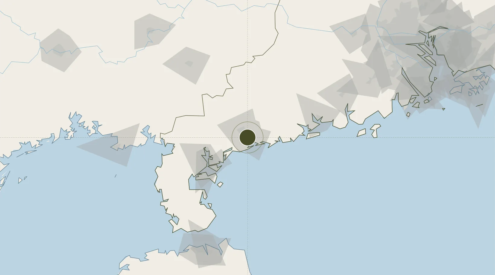
21.5869°, 110.9783°
10,200 ha
Zone area
15.8 km
Nearest port
41.8 km
Nearest airport
Gateway access
Zone profile
Zone type
Export Processing Zone
Region
Guangdong
Status
Active
Management
Public
Operator
Management Committee of Maoming Maonan Economic Development Zone
Legal framework
The reply of The State Council on approving the upgrading of Maoming High and New Technology Industrial Development Zone into a National High and New Technology Industrial Development Zone Guo Xin [2018] No. 44 1. Agree that Maoming High and New Technolog
Location
Nearby Logistics Neighbours
Airports
- 1Zhanjiang Wuchuan International Airport42 km
- 2Suixi Air Base83 km
- 3Yulin Fumian Airport129 km
- 4Beihai Fucheng Airport174 km
- 5Haikou Meilan International Airport192 km
Cities
- 1Maoming3 km
- 2Bohe8 km
- 3Shuidong Pt22 km
- 4Zhanjiang24 km
- 5Wuchuan28 km
DatabookThe Record of Consolidated Knowledge
China beyond logistics?