Seaport · China

ChiwanCNCWN

19.9667°, 110.0333°
9.4 m
Channel depth
73.9
Port liner connectivity
Chiwan is also a UN/LOCODE logistics hub →

Channel & Berth Profile

SEA LEVEL (CD)CHANNEL BEDAnchorage · 3.4 mCargo pier · 3.4 mOil terminal · 4.9 mChannel · 9.4 m
NGA World Port Index

Pilotage, Tugs & Services

Pilotage compulsoryYES
Pilotage availableYES
Tug assistanceYES
Potable waterYES
Diesel bunkersYES
NGA World Port Index

Facilities & Capabilities

Container
Ro-Ro
Liquid bulk
Dry bulk
Oil terminal
Break bulk
Dry dock
RepairsNO
BunkeringYES
Rail linkYES
Dangerous cargo
ISPS security
NGA World Port Index

Harbour Specifications

Harbour size
Very Small
NGA World Port Index
Harbour type
Coastal (Breakwater)
NGA World Port Index
Shelter
Fair
NGA World Port Index
Water body
Gulf of Tonkin; South China Sea; North Pacific Ocean
NGA World Port Index
Tidal range
2 m
NGA World Port Index
Pilotage
Yes
NGA World Port Index

Liner Connectivity

73.9
PLSCI

Port Liner Shipping Connectivity Index for Chiwan, as published by UNCTAD for the latest available quarter. Higher values indicate stronger scheduled liner-shipping integration.

Shown relative to the highest per-port PLSCI in the dataset (1,657.9).
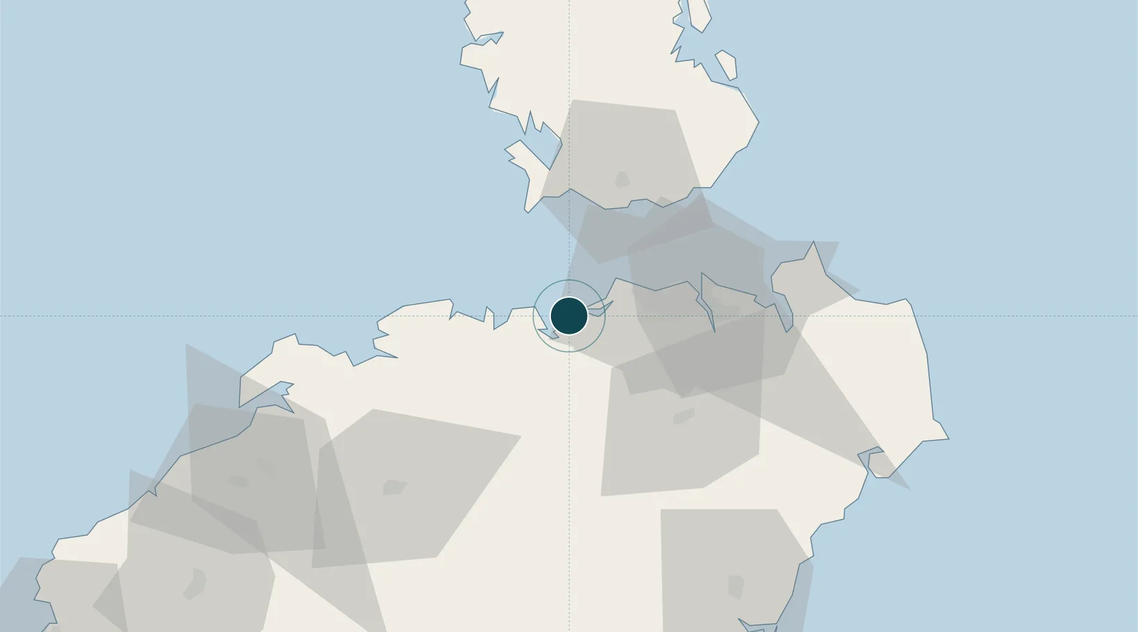
UNCTAD · Port Liner Shipping Connectivity Index

Location

Location of CNCWN
Natural Earth 10m (public domain) · Hainan · CNCWN · 19.97, 110.03GoogleOSMYandex

Nearby Logistics Neighbours

Ports
  1. 1Haikou28 km
  2. 2Yangpu93 km
  3. 3Zhanjiang142 km
  4. 4Basuo177 km
  5. 5Sanya193 km
Nearest neighbours — logibook spatial index (haversine) over the source coordinates
Cities
  1. 1Macun3 km
  2. 2Haikou Pt16 km
  3. 3Haikou27 km
  4. 4Dongjiaotou Pt57 km
  5. 5Dongguo79 km
Nearest neighbours — logibook spatial index (haversine) over the source coordinates
Airports
  1. 1Jialaishi Air Base44 km
  2. 2Haikou Meilan International Airport45 km
  3. 3Qionghai Bo'ao Airport102 km
  4. 4Suixi Air Base160 km
  5. 5Lingshui Air Base164 km
Nearest neighbours — logibook spatial index (haversine) over the source coordinates
DatabookThe Record of Consolidated Knowledge
China beyond logistics?
Browse databook

All Sources

Portsthe NGA World Port Index
Public domain (US gov)
Logistics performanceUNCTAD
CC BY 3.0 IGO
AirportsOurAirports
Public domain
LocationsUN/LOCODE
UN/LOCODE — free
Trade Zonesthe World Bank SEZ database
CC BY 4.0
Trade ZonesOpen Zone Map
CC BY
← China ports