Diversified Zone · China

Rugao High-tech Industrial Development Zone Active
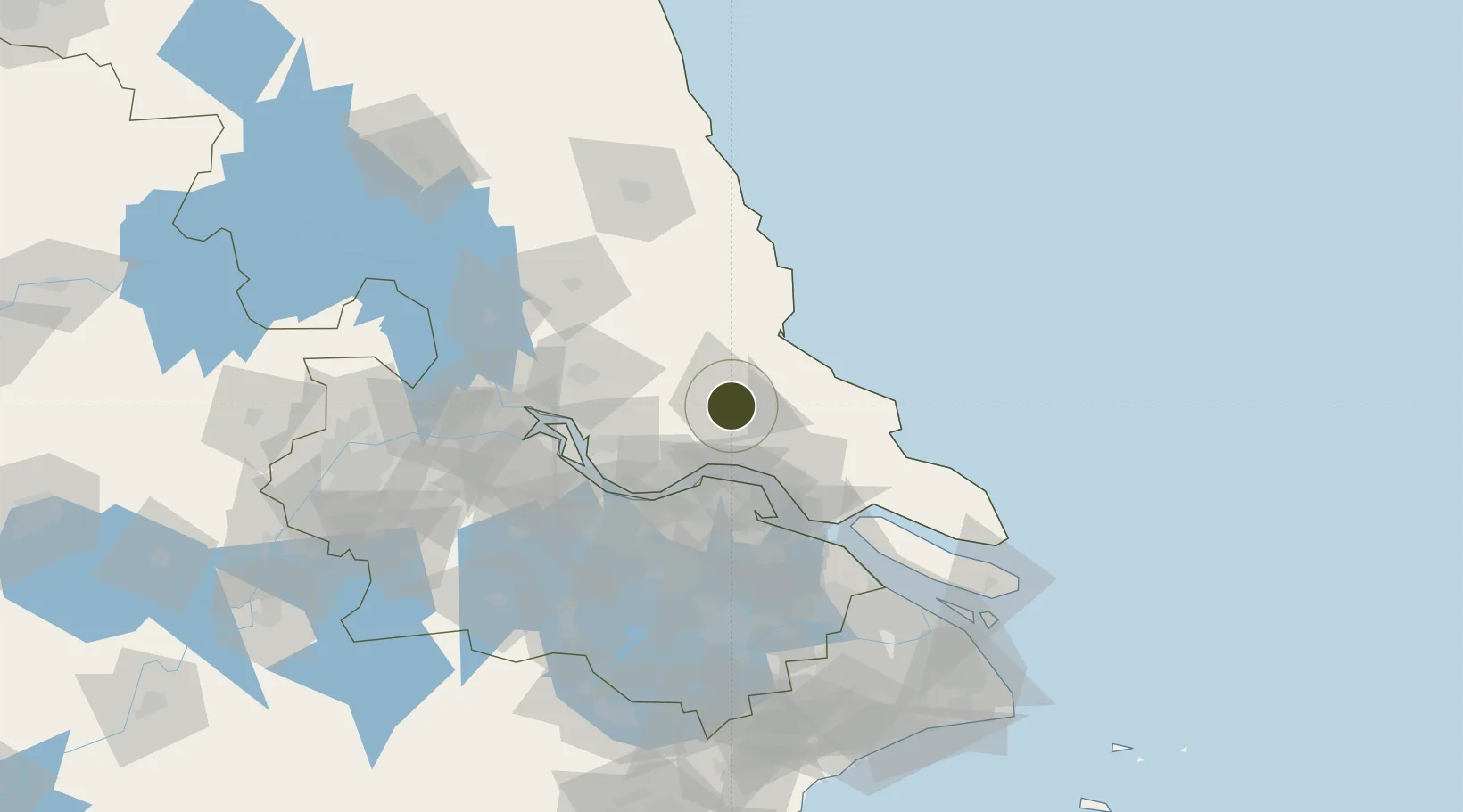
32.3604°, 120.6056°
7,700 ha
Zone area
44.1 km
Nearest port
15.0 km
Nearest airport

Gateway access

Nearest neighbours — logibook spatial index (haversine) over the source coordinates

Zone profile

Zone type
Diversified Zone
Open Zone Map
Region
Jiangsu
Open Zone Map
Status
Active
Open Zone Map
Management
Public
Open Zone Map
Operator
Management Committee of Rugao High-tech Industrial Development Zone
Open Zone Map
Legal framework
Established in December 2009
Open Zone Map

Location

Location of ozm-979
Natural Earth 10m (public domain) · Jiangsu · ozm-979 · 32.36, 120.61GoogleOSMYandex

Nearby Logistics Neighbours

Ports
  1. 1Nantong44 km
  2. 2Zhangjiangang48 km
  3. 3Jiangyin61 km
  4. 4Gaogang72 km
  5. 5Changzhou73 km
Nearest neighbours — logibook spatial index (haversine) over the source coordinates
Airports
  1. 1Rugao Air Base15 km
  2. 2Nantong Xingdong International Airport48 km
  3. 3Yangzhou Taizhou Airport86 km
  4. 4Changzhou Benniu International Airport92 km
  5. 5Sunan Shuofang International Airport97 km
Nearest neighbours — logibook spatial index (haversine) over the source coordinates
Cities
  1. 1Rugao36 km
  2. 2Jiangyan47 km
  3. 3Jingjiang47 km
  4. 4Zhangjiagang48 km
  5. 5Nantong55 km
Nearest neighbours — logibook spatial index (haversine) over the source coordinates
Trade Zones
  1. 1Taoyuan Industrial Concentration Zone7 km
  2. 2Haian Economic Development Zone24 km
  3. 3Taixing Huangqiao Economic Development Zone36 km
  4. 4Jingjiang Economic Development Zone38 km
  5. 5Gangzha Economic Development Zone41 km
Nearest neighbours — logibook spatial index (haversine) over the source coordinates
DatabookThe Record of Consolidated Knowledge
China beyond logistics?
Browse databook

All Sources

Trade ZonesOpen Zone Map
CC BY
Portsthe NGA World Port Index
Public domain (US gov)
AirportsOurAirports
Public domain
LocationsUN/LOCODE
UN/LOCODE — free
← China trade zones