UN/LOCODE hub · China
CNNTG
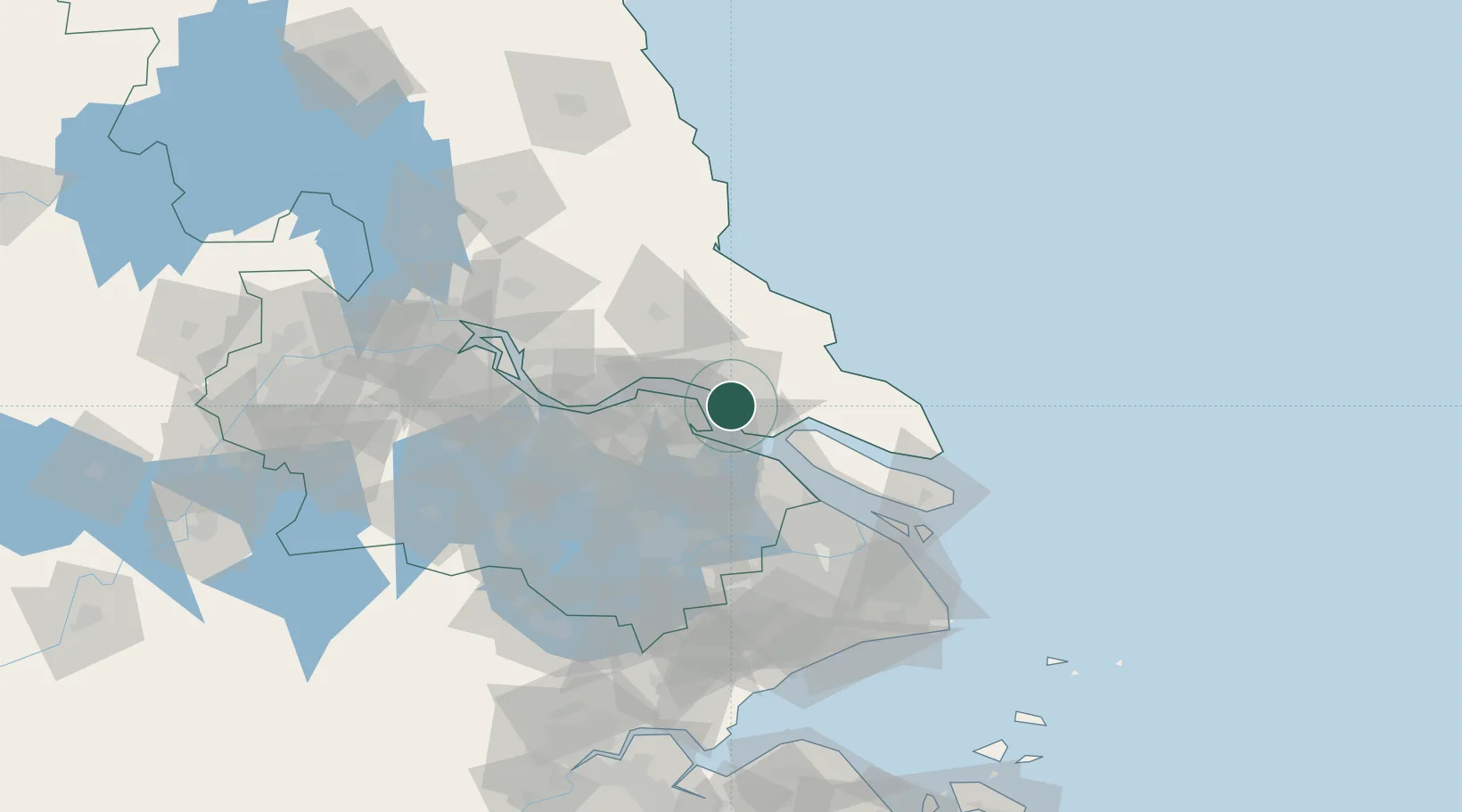
Nantong
31.9459°, 120.9144°
2,273,326
Population
4
Transport functions
1
Container terminals
Transport Functions
Port
Rail
Road
Airport
Hub Profile
Place type
Provincial seat
Region
Jiangsu
Population
2,273,326
Time zone
Asia/Shanghai
Elevation
6 m
Logistics facilities
8
Container terminals
1
Location
Nearby Logistics Neighbours
Cities
- 1Changshu Pt27 km
- 2Rugao33 km
- 3Zouxiang39 km
- 4Zhangjiagang43 km
- 5Chongming45 km
Ports
- 1Changshu20 km
- 2Taicang43 km
- 3Zhangjiangang49 km
- 4Jiangyin64 km
- 5Changzhou88 km
Airports
Trade Zones
DatabookThe Record of Consolidated Knowledge
China beyond logistics?