Transport Functions
Port
Rail
Road
Hub Profile
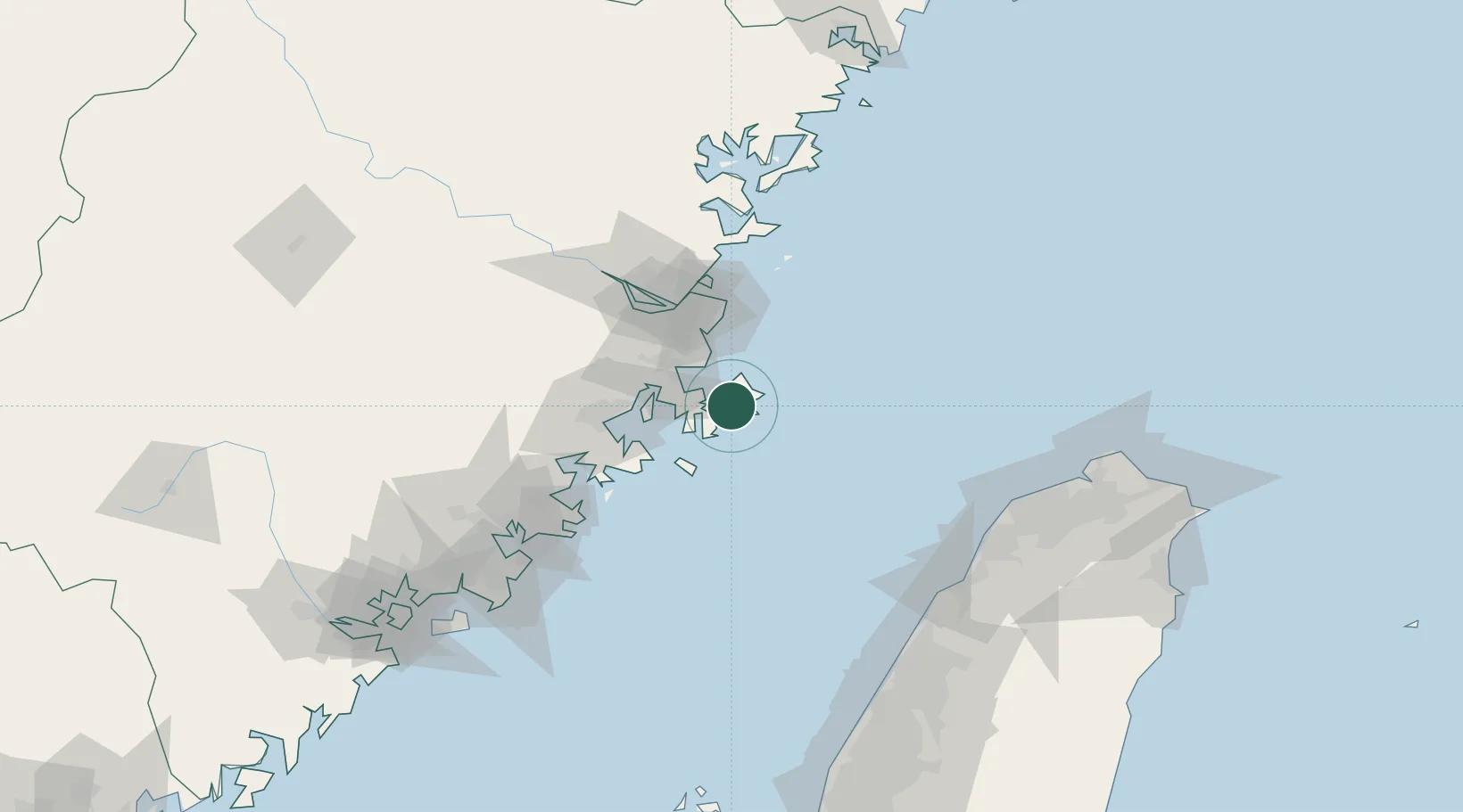
Place type
Populated place
Region
Fujian
Time zone
Asia/Shanghai
Elevation
508 m
Location
Nearby Logistics Neighbours
Cities
- 1Jinjing7 km
- 2Songxia Pt24 km
- 3Xialong40 km
- 4Xiaocuo Pt41 km
- 5Jiangyin42 km
Ports
- 1Fuzhou77 km
- 2Xiuyu79 km
- 3Quanzhou132 km
- 4Tai-Chung Kang155 km
- 5Tan-Shui173 km
Airports
- 1Longtian Air Base27 km
- 2Fuzhou Changle International Airport48 km
- 3Fuzhou Air Base69 km
- 4Matsu Nangan Airport77 km
- 5Matsu Beigan Airport86 km
DatabookThe Record of Consolidated Knowledge
China beyond logistics?