UN/LOCODE hub · China
CNXCU

Xiaocuo Pt

25.2000°, 119.9500°
1
Transport functions

Transport Functions

Port
UN/LOCODE

Hub Profile

Region
FJ
GeoNames

Location

Location of CNXCU
Natural Earth 10m (public domain) · FJ · CNXCU · 25.20, 119.95GoogleOSMYandex

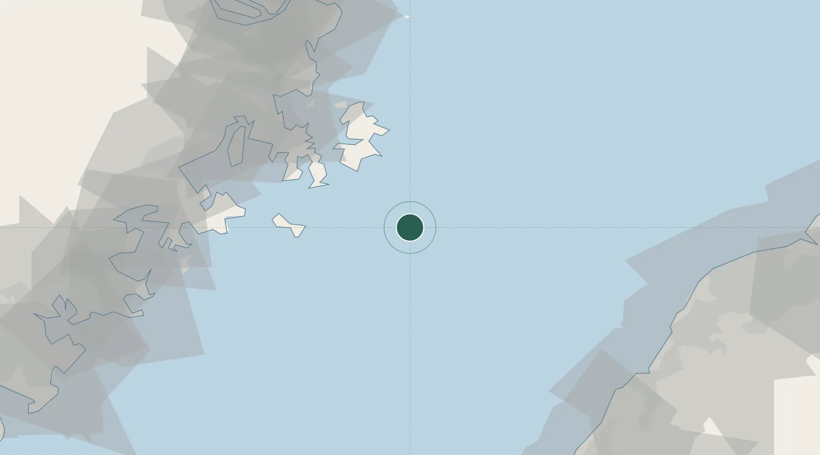
Nearby Logistics Neighbours

Cities
  1. 1Jinjing37 km
  2. 2Pingtan41 km
  3. 3Songxia Pt65 km
  4. 4Jiangyin72 km
  5. 5Xialong80 km
Nearest neighbours — logibook spatial index (haversine) over the source coordinates
Ports
  1. 1Xiuyu97 km
  2. 2Tai-Chung Kang115 km
  3. 3Fuzhou118 km
  4. 4Quanzhou141 km
  5. 5Tan-Shui146 km
Nearest neighbours — logibook spatial index (haversine) over the source coordinates
Airports
  1. 1Longtian Air Base64 km
  2. 2Fuzhou Changle International Airport86 km
  3. 3Matsu Nangan Airport107 km
  4. 4Hsinchu Air Base108 km
  5. 5Fuzhou Air Base110 km
Nearest neighbours — logibook spatial index (haversine) over the source coordinates
Trade Zones
  1. 1Fuqing Export Processing Zone76 km
  2. 2Meizhou Bay North Shore Economic Development Zone86 km
  3. 3Qingkou Automobile Industrial Park96 km
  4. 4Licheng Economic Development Zone96 km
  5. 5Fujian Changle Economic Development Zone97 km
Nearest neighbours — logibook spatial index (haversine) over the source coordinates
DatabookThe Record of Consolidated Knowledge
China beyond logistics?
Browse databook

All Sources

LocationsUN/LOCODE
UN/LOCODE — free
Portsthe NGA World Port Index
Public domain (US gov)
AirportsOurAirports
Public domain
Trade Zonesthe World Bank SEZ database
CC BY 4.0
Trade ZonesOpen Zone Map
CC BY
← China locations