UN/LOCODE hub · China
CNPTJ

Jinjing

25.5000°, 119.7833°
1
Transport functions

Transport Functions

Port
UN/LOCODE

Hub Profile

Place type
Populated place
GeoNames
Region
Fujian
GeoNames
Time zone
Asia/Shanghai
GeoNames
Elevation
26 m
GeoNames

Location

Location of CNPTJ
Natural Earth 10m (public domain) · Fujian · CNPTJ · 25.50, 119.78GoogleOSMYandex

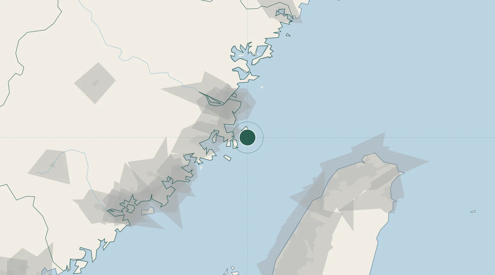
Nearby Logistics Neighbours

Cities
  1. 1Pingtan7 km
  2. 2Songxia Pt29 km
  3. 3Xiaocuo Pt37 km
  4. 4Xialong46 km
  5. 5Jiangyin49 km
Nearest neighbours — logibook spatial index (haversine) over the source coordinates
Ports
  1. 1Fuzhou81 km
  2. 2Xiuyu86 km
  3. 3Quanzhou137 km
  4. 4Tai-Chung Kang152 km
  5. 5Tan-Shui166 km
Nearest neighbours — logibook spatial index (haversine) over the source coordinates
Airports
  1. 1Longtian Air Base33 km
  2. 2Fuzhou Changle International Airport49 km
  3. 3Fuzhou Air Base73 km
  4. 4Matsu Nangan Airport75 km
  5. 5Matsu Beigan Airport84 km
Nearest neighbours — logibook spatial index (haversine) over the source coordinates
Trade Zones
  1. 1Fuqing Export Processing Zone52 km
  2. 2Fujian Changle Economic Development Zone60 km
  3. 3Qingkou Automobile Industrial Park60 km
  4. 4Licheng Economic Development Zone74 km
  5. 5Meizhou Bay North Shore Economic Development Zone78 km
Nearest neighbours — logibook spatial index (haversine) over the source coordinates
DatabookThe Record of Consolidated Knowledge
China beyond logistics?
Browse databook

All Sources

LocationsUN/LOCODE
UN/LOCODE — free
Portsthe NGA World Port Index
Public domain (US gov)
AirportsOurAirports
Public domain
Trade Zonesthe World Bank SEZ database
CC BY 4.0
Trade ZonesOpen Zone Map
CC BY
← China locations