Export Processing Zone · China

Zhaoyuan Industrial Park Active
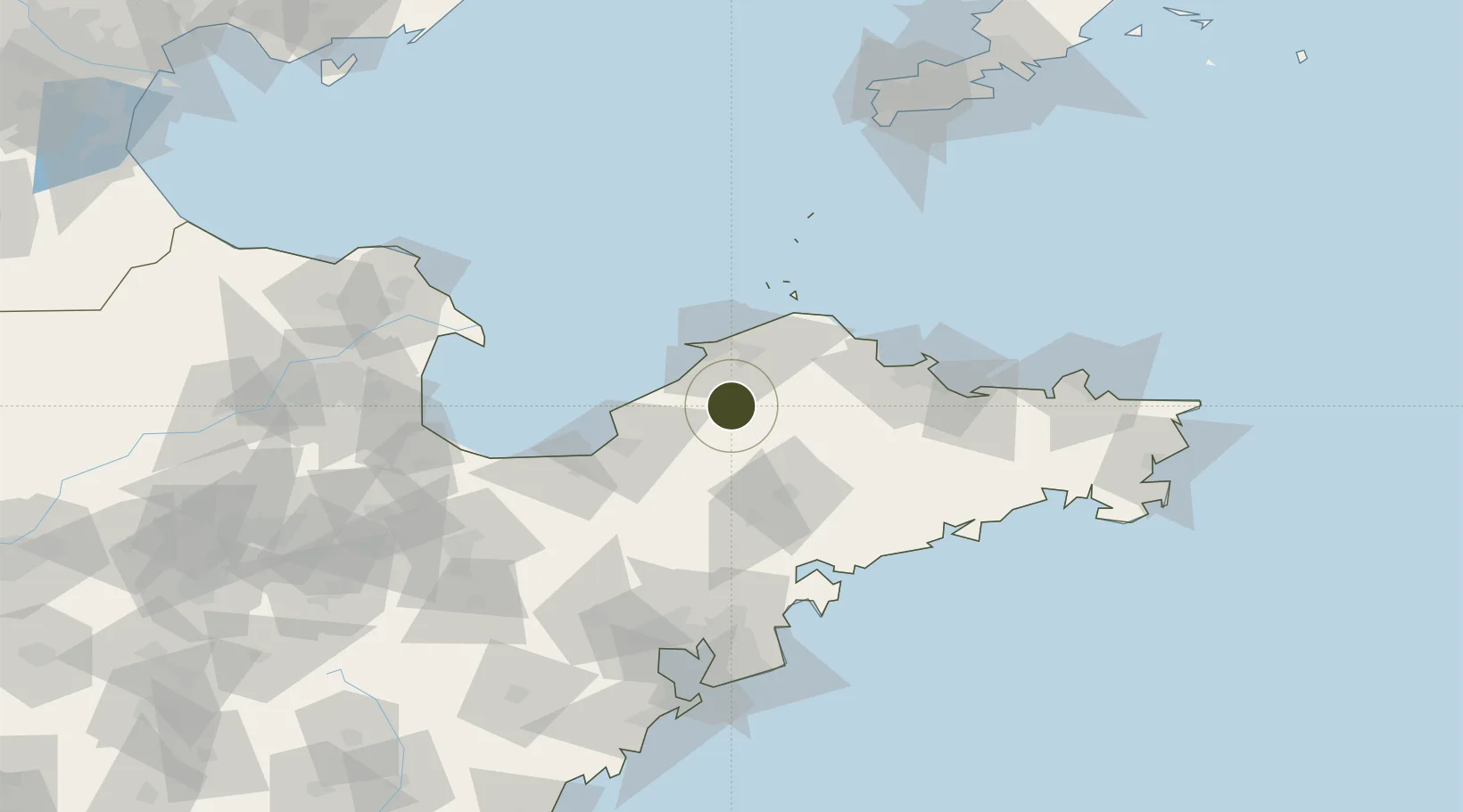
37.3877°, 120.4408°
2,500 ha
Zone area
30.6 km
Nearest port
49.0 km
Nearest airport

Gateway access

Nearest neighbours — logibook spatial index (haversine) over the source coordinates

Zone profile

Zone type
Export Processing Zone
Open Zone Map
Region
Shandong
Open Zone Map
Status
Active
Open Zone Map
Management
Public
Open Zone Map
Operator
Working Committee of Zhaoyuan Industrial Park
Open Zone Map
Legal framework
the provincial "eight economic zones" and "ten projects" strategic deployment
Open Zone Map

Location

Location of ozm-1380
Natural Earth 10m (public domain) · Shandong · ozm-1380 · 37.39, 120.44GoogleOSMYandex

Nearby Logistics Neighbours

Ports
  1. 1Longkou Gang31 km
  2. 2Penglai59 km
  3. 3Yantai91 km
  4. 4Weihai147 km
  5. 5Qingdao Gang151 km
Nearest neighbours — logibook spatial index (haversine) over the source coordinates
Airports
  1. 1Laiyang Air Base49 km
  2. 2Yantai Penglai International Airport56 km
  3. 3Qingdao Jiaodong International Airport118 km
  4. 4Jiaozhou Jiaocheng Air Base123 km
  5. 5Weifang Nanyuan Airport143 km
Nearest neighbours — logibook spatial index (haversine) over the source coordinates
Cities
  1. 1Longkou Pt35 km
  2. 2Laizhou Pt50 km
  3. 3Penglai Pt53 km
  4. 4Taipingwan55 km
  5. 5Laiyang60 km
Nearest neighbours — logibook spatial index (haversine) over the source coordinates
Trade Zones
  1. 1Longkou High-tech Industrial Park26 km
  2. 2Longkou Economic Development Zone29 km
  3. 3Laizhou Economic Development Zone47 km
  4. 4Laiyang Economic Development Zone51 km
  5. 5Qixia Economic Development Zone55 km
Nearest neighbours — logibook spatial index (haversine) over the source coordinates
DatabookThe Record of Consolidated Knowledge
China beyond logistics?
Browse databook

All Sources

Trade ZonesOpen Zone Map
CC BY
Portsthe NGA World Port Index
Public domain (US gov)
AirportsOurAirports
Public domain
LocationsUN/LOCODE
UN/LOCODE — free
← China trade zones