Transport Functions
Port
Hub Profile
Region
SD
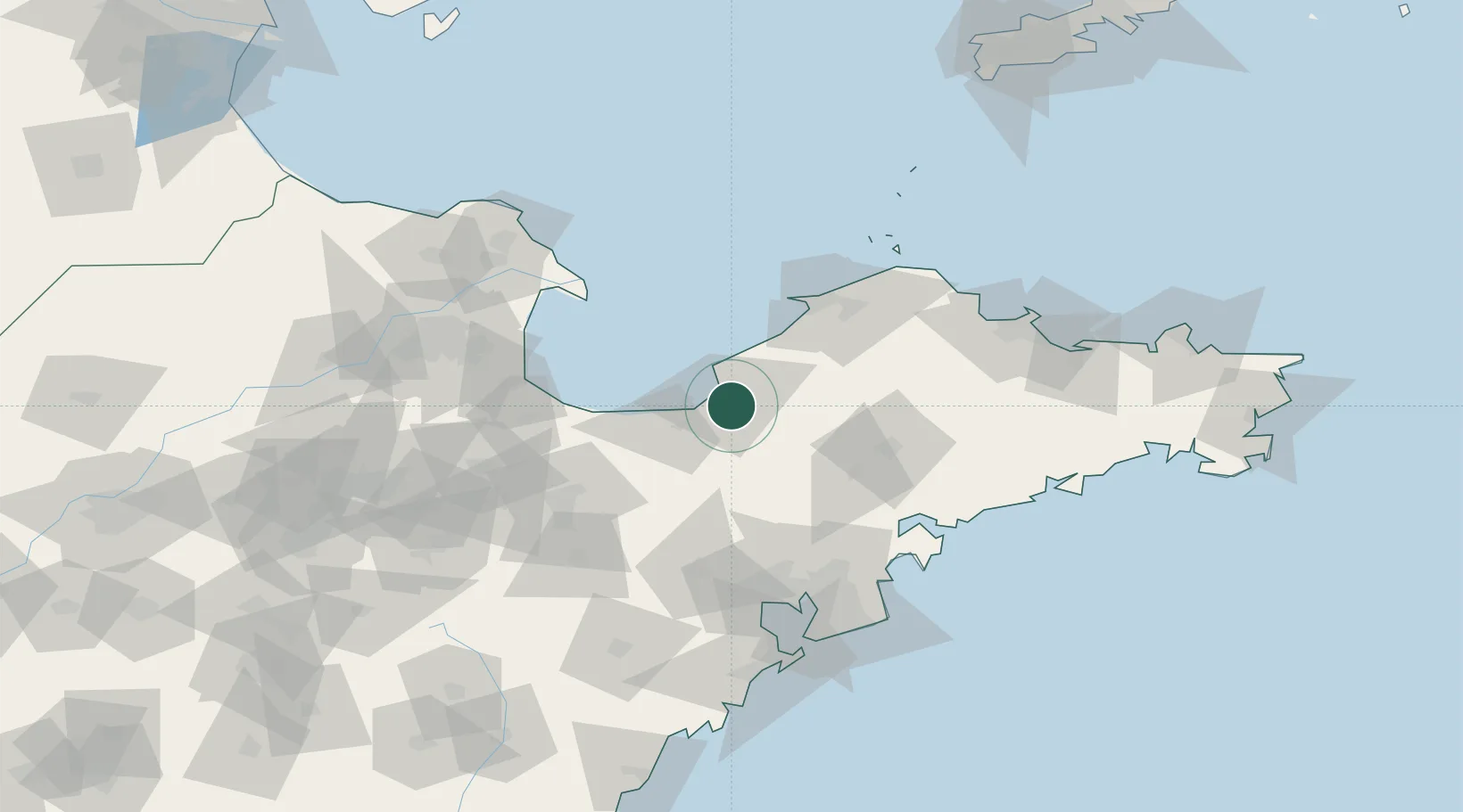
Location
Nearby Logistics Neighbours
Cities
- 1Taipingwan15 km
- 2Longkou Pt65 km
- 3Weifang68 km
- 4Laiyang74 km
- 5Gaomi89 km
Ports
- 1Longkou Gang60 km
- 2Penglai106 km
- 3Qingdao Gang129 km
- 4Yantai139 km
- 5Weihai194 km
Airports
Trade Zones
DatabookThe Record of Consolidated Knowledge
China beyond logistics?