UN/LOCODE hub · China
CNLKU

Longkou Pt

37.6818°, 120.2867°
1
Transport functions

Transport Functions

Port
Longkou Pt is also a profiled seaport →
UN/LOCODE

Hub Profile

Region
SD
GeoNames
Logistics facilities
4
UN/LOCODE

Location

Location of CNLKU
Natural Earth 10m (public domain) · SD · CNLKU · 37.68, 120.29GoogleOSMYandex

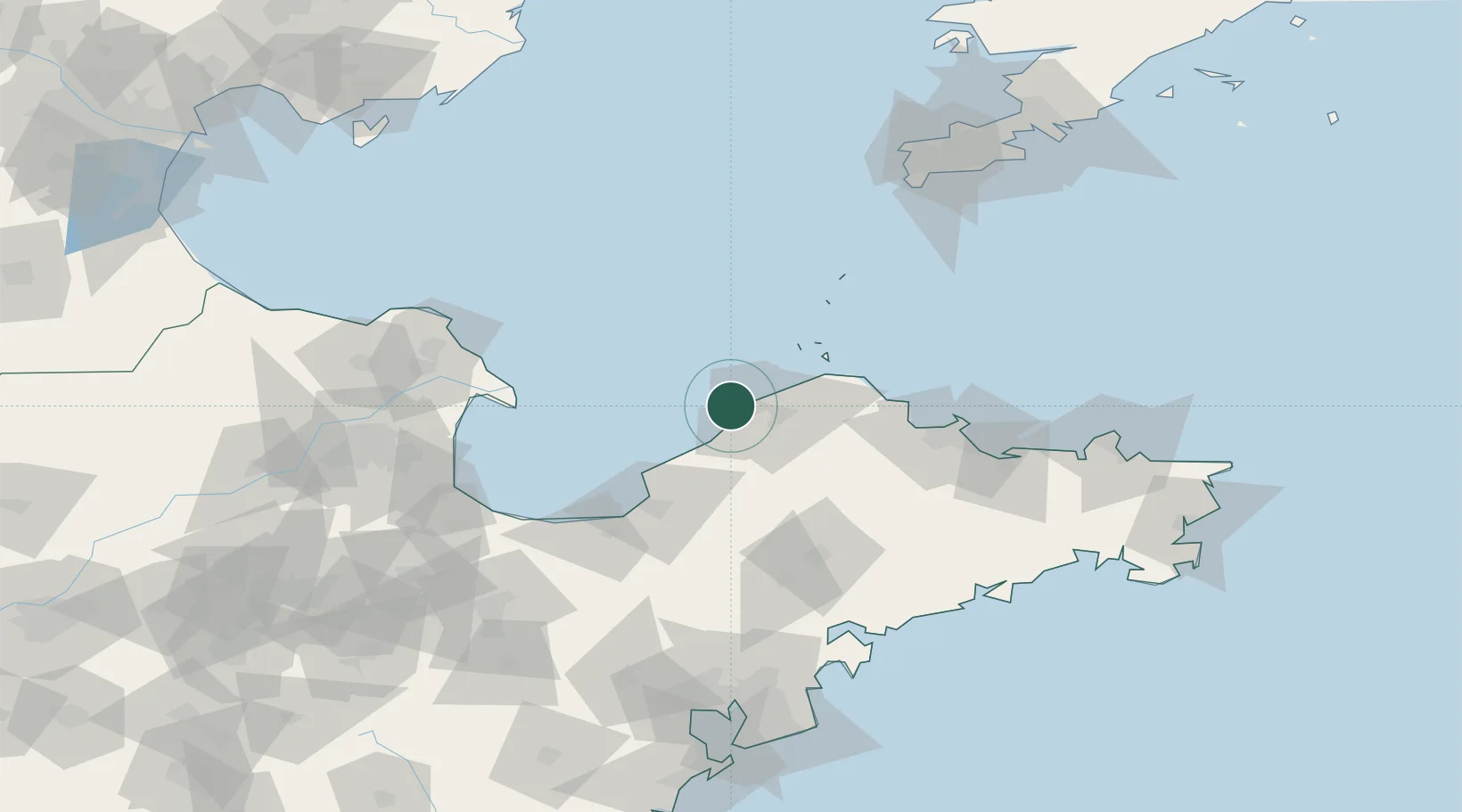
Nearby Logistics Neighbours

Cities
  1. 1Penglai Pt43 km
  2. 2Taipingwan61 km
  3. 3Laizhou Pt65 km
  4. 4Laiyang95 km
  5. 5Yantai97 km
Nearest neighbours — logibook spatial index (haversine) over the source coordinates
Ports
  1. 1Penglai50 km
  2. 2Yantai104 km
  3. 3Lushun149 km
  4. 4Weihai161 km
  5. 5Dalian183 km
Nearest neighbours — logibook spatial index (haversine) over the source coordinates
Airports
  1. 1Yantai Penglai International Airport61 km
  2. 2Laiyang Air Base84 km
  3. 3Dongying Shengli Airport133 km
  4. 4Qingdao Jiaodong International Airport148 km
  5. 5Jiaozhou Jiaocheng Air Base152 km
Nearest neighbours — logibook spatial index (haversine) over the source coordinates
Trade Zones
  1. 1Longkou Economic Development Zone6 km
  2. 2Longkou High-tech Industrial Park22 km
  3. 3Zhaoyuan Industrial Park35 km
  4. 4Laizhou Economic Development Zone58 km
  5. 5Qixia Economic Development Zone71 km
Nearest neighbours — logibook spatial index (haversine) over the source coordinates
DatabookThe Record of Consolidated Knowledge
China beyond logistics?
Browse databook

All Sources

LocationsUN/LOCODE
UN/LOCODE — free
Portsthe NGA World Port Index
Public domain (US gov)
AirportsOurAirports
Public domain
Trade Zonesthe World Bank SEZ database
CC BY 4.0
Trade ZonesOpen Zone Map
CC BY
← China locations