Transport Functions
Rail
Road
Multimodal
Hub Profile
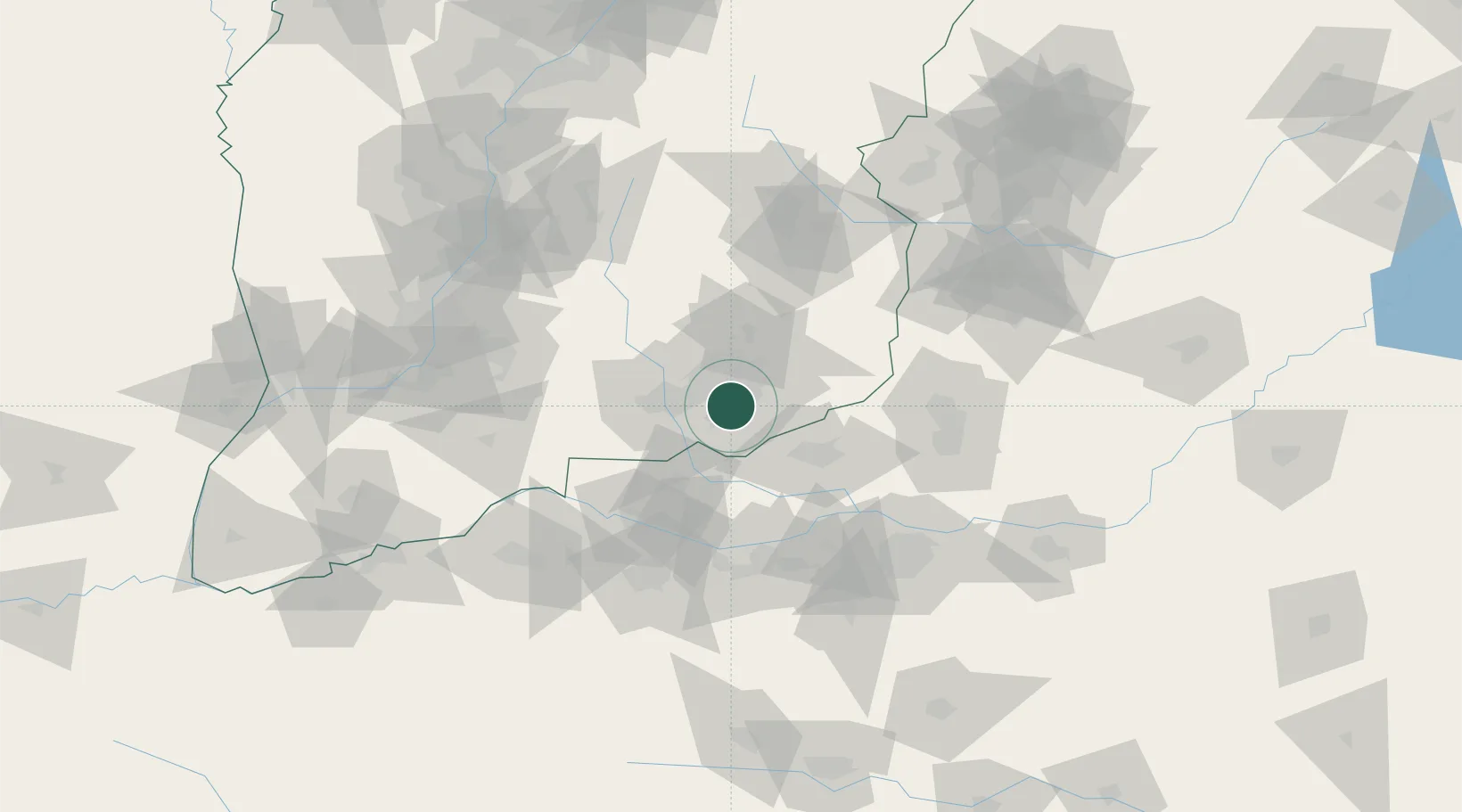
Place type
Provincial seat
Region
Shanxi
Population
476,945
Time zone
Asia/Shanghai
Elevation
711 m
Location
Nearby Logistics Neighbours
Cities
- 1Jiaozuo39 km
- 2Dazhaoying88 km
- 3Xinxiang96 km
- 4Luoyang99 km
- 5Zhengzhou110 km
Ports
- 1Hankow561 km
- 2Tianjin Xin Gang588 km
- 3Lanshan595 km
- 4Lianyungang608 km
- 5Rizhao610 km
Airports
- 1Changzhi Wangcun Airport89 km
- 2Luoyang Beijiao Airport92 km
- 3Zhengzhou Air Base107 km
- 4Linfen Yaodu Airport130 km
- 5Zhengzhou Xinzheng International Airport141 km
DatabookThe Record of Consolidated Knowledge
China beyond logistics?