Transport Functions
Rail
Road
Airport
Multimodal
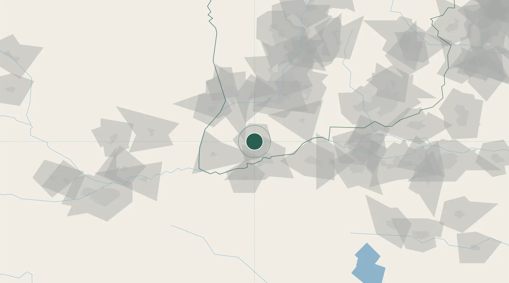
Hub Profile
Place type
Provincial seat
Region
Shanxi
Population
680,036
Time zone
Asia/Shanghai
Elevation
361 m
Location
Nearby Logistics Neighbours
Ports
- 1Hankow581 km
- 2Tianjin Xin Gang747 km
- 3Lanshan760 km
- 4Lianyungang770 km
- 5Rizhao778 km
Airports
- 1Yuncheng Yanhu International Airport10 km
- 2Luoyang Beijiao Airport129 km
- 3Linfen Yaodu Airport135 km
- 4Yanliang Air Base168 km
- 5Xi'an Xiguan Airport188 km
DatabookThe Record of Consolidated Knowledge
China beyond logistics?