Diversified Zone · China
Huayang Industrial Cluster Area Active
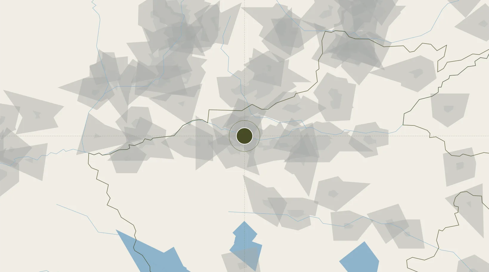
34.8589°, 112.5662°
1,367 ha
Zone area
501.8 km
Nearest port
20.9 km
Nearest airport
Gateway access
Zone profile
Zone type
Diversified Zone
Region
Henan
Status
Active
Management
Public
Operator
Management Committee of Huayang Industrial Cluster Area
Legal framework
Regulations on Taxation Policies of National High-Tech Industrial Development Zones Approved by State Council of the People's Republic of China Mar 6, 1991; Administrative Measures for the Recognition of High-tech Enterprises; Ministry of Science and Tech
Location
Nearby Logistics Neighbours
Ports
- 1Hankow502 km
- 2Lanshan620 km
- 3Lianyungang629 km
- 4Rizhao639 km
- 5Nanjing651 km
Airports
- 1Luoyang Beijiao Airport21 km
- 2Zhengzhou Air Base106 km
- 3Zhengzhou Xinzheng International Airport123 km
- 4Luyang Air Base134 km
- 5Yuncheng Yanhu International Airport143 km
Cities
- 1Luoyang27 km
- 2Jiaozuo69 km
- 3Jincheng74 km
- 4Zhengzhou101 km
- 5Zhengzhoudong Railway Station110 km
DatabookThe Record of Consolidated Knowledge
China beyond logistics?