UN/LOCODE hub · China
CNZYA

Ziyang

30.1167°, 104.6167°
905,729
Population
3
Transport functions

Transport Functions

Rail
Road
Postal
UN/LOCODE

Hub Profile

Place type
Provincial seat
GeoNames
Region
Sichuan
GeoNames
Population
905,729
GeoNames
Time zone
Asia/Shanghai
GeoNames
Elevation
365 m
GeoNames

Location

Location of CNZYA
Natural Earth 10m (public domain) · Sichuan · CNZYA · 30.12, 104.62GoogleOSMYandex

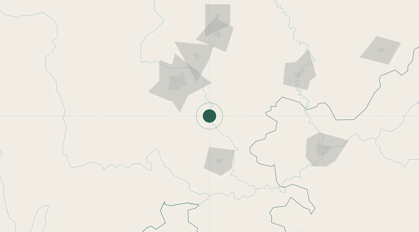
Nearby Logistics Neighbours

Cities
  1. 1Tianfu, Chengdu26 km
  2. 2Zigong83 km
  3. 3Xiantan91 km
  4. 4Chengdu97 km
  5. 5Suining99 km
Nearest neighbours — logibook spatial index (haversine) over the source coordinates
Ports
  1. 1Hankow929 km
  2. 2Fang-Cheng1002 km
  3. 3Qinzhou1013 km
  4. 4Hai Phong1044 km
  5. 5Cam Pha1047 km
Nearest neighbours — logibook spatial index (haversine) over the source coordinates
Airports
  1. 1Chengdu Tianfu International Airport28 km
  2. 2Chengdu Huaizhou Airport63 km
  3. 3Chengdu Shuangliu International Airport81 km
  4. 4Chengdu Huangtianba Air Base92 km
  5. 5Guanghan Airport97 km
Nearest neighbours — logibook spatial index (haversine) over the source coordinates
Trade Zones
  1. 1Ziyang High-tech Industrial Park3 km
  2. 2Qinglong Economic Development Zone75 km
  3. 3Jingyan Economic Development Zone76 km
  4. 4Rongxian Economic Development Zone77 km
  5. 5Chengdu Export Processing Zone78 km
Nearest neighbours — logibook spatial index (haversine) over the source coordinates
DatabookThe Record of Consolidated Knowledge
China beyond logistics?
Browse databook

All Sources

LocationsUN/LOCODE
UN/LOCODE — free
LocationsGeoNames
CC BY 4.0
Portsthe NGA World Port Index
Public domain (US gov)
AirportsOurAirports
Public domain
Trade Zonesthe World Bank SEZ database
CC BY 4.0
Trade ZonesOpen Zone Map
CC BY
← China locations