Export Processing Zone · China

Wunushan Economic Development Zone Active
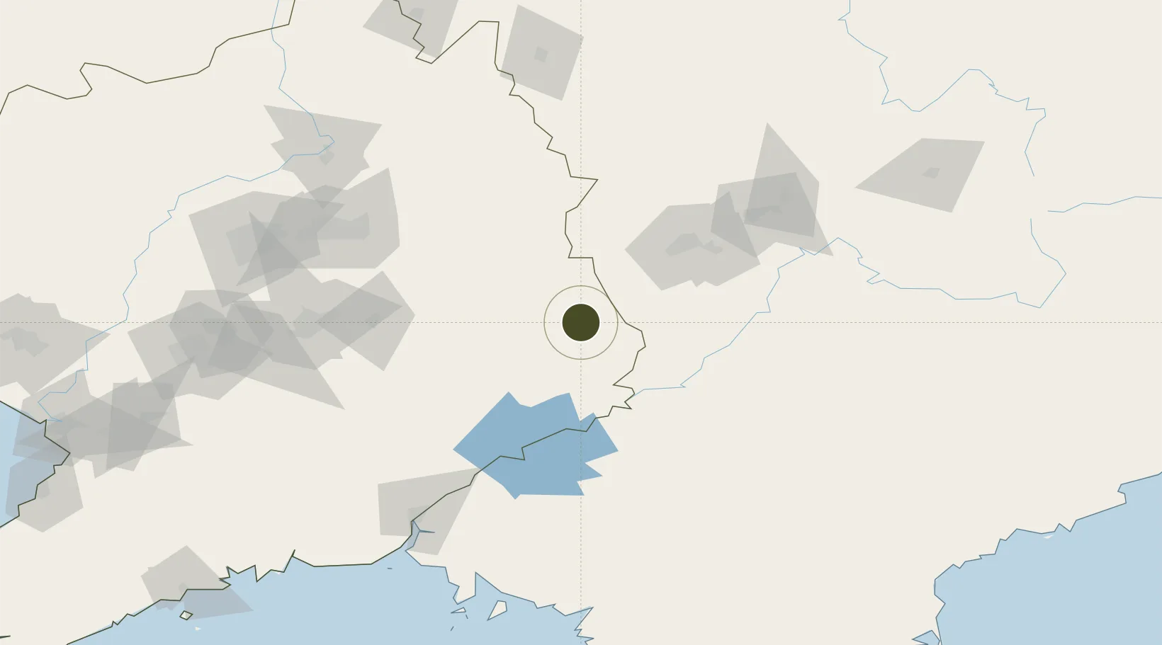
41.2893°, 125.3807°
473 ha
Zone area
194.0 km
Nearest port
89.4 km
Nearest airport

Gateway access

Nearest neighbours — logibook spatial index (haversine) over the source coordinates

Zone profile

Zone type
Export Processing Zone
Open Zone Map
Region
Liaoning
Open Zone Map
Status
Active
Open Zone Map
Management
Public
Open Zone Map
Operator
Management Committee of Wunushan Economic Development Zone
Open Zone Map
Legal framework
Established in December 2006
Open Zone Map

Location

Location of ozm-1159
Natural Earth 10m (public domain) · Liaoning · ozm-1159 · 41.29, 125.38GoogleOSMYandex

Nearby Logistics Neighbours

Ports
  1. 1Dandong194 km
  2. 2Hungnam249 km
  3. 3Yingkou273 km
  4. 4Kyomip'o285 km
  5. 5Nampo286 km
Nearest neighbours — logibook spatial index (haversine) over the source coordinates
Airports
  1. 1Tonghua Sanyuanpu Airport89 km
  2. 2Shenyang Taoxian International Airport163 km
  3. 3Shenyang Dongta Airport166 km
  4. 4Dandong Langtou International Airport168 km
  5. 5Shenyang Beiling Air Base174 km
Nearest neighbours — logibook spatial index (haversine) over the source coordinates
Cities
  1. 1Siping59 km
  2. 2Ji'an69 km
  3. 3Qingshi95 km
  4. 4Changdianhekou109 km
  5. 5Baishan112 km
Nearest neighbours — logibook spatial index (haversine) over the source coordinates
Trade Zones
  1. 1Wiwōn Industrial Development Zone66 km
  2. 2Jian Economic Development Zone73 km
  3. 3Manpo Economic Development Zone77 km
  4. 4Longshan Industrial Concentration Zone104 km
  5. 5Baishan Economic Development Zone113 km
Nearest neighbours — logibook spatial index (haversine) over the source coordinates
DatabookThe Record of Consolidated Knowledge
China beyond logistics?
Browse databook

All Sources

Trade ZonesOpen Zone Map
CC BY
Portsthe NGA World Port Index
Public domain (US gov)
AirportsOurAirports
Public domain
LocationsUN/LOCODE
UN/LOCODE — free
← China trade zones