UN/LOCODE hub · China
CNJZH

Jiaozhou

36.3105°, 119.9724°
619,266
Population
5
Transport functions

Transport Functions

Rail
Road
Airport
Multimodal
Postal
UN/LOCODE

Hub Profile

Place type
District seat
GeoNames
Region
Shandong
GeoNames
Population
619,266
GeoNames
Time zone
Asia/Shanghai
GeoNames
Elevation
10 m
GeoNames
Logistics facilities
1
UN/LOCODE

Location

Location of CNJZH
Natural Earth 10m (public domain) · Shandong · CNJZH · 36.31, 119.97GoogleOSMYandex

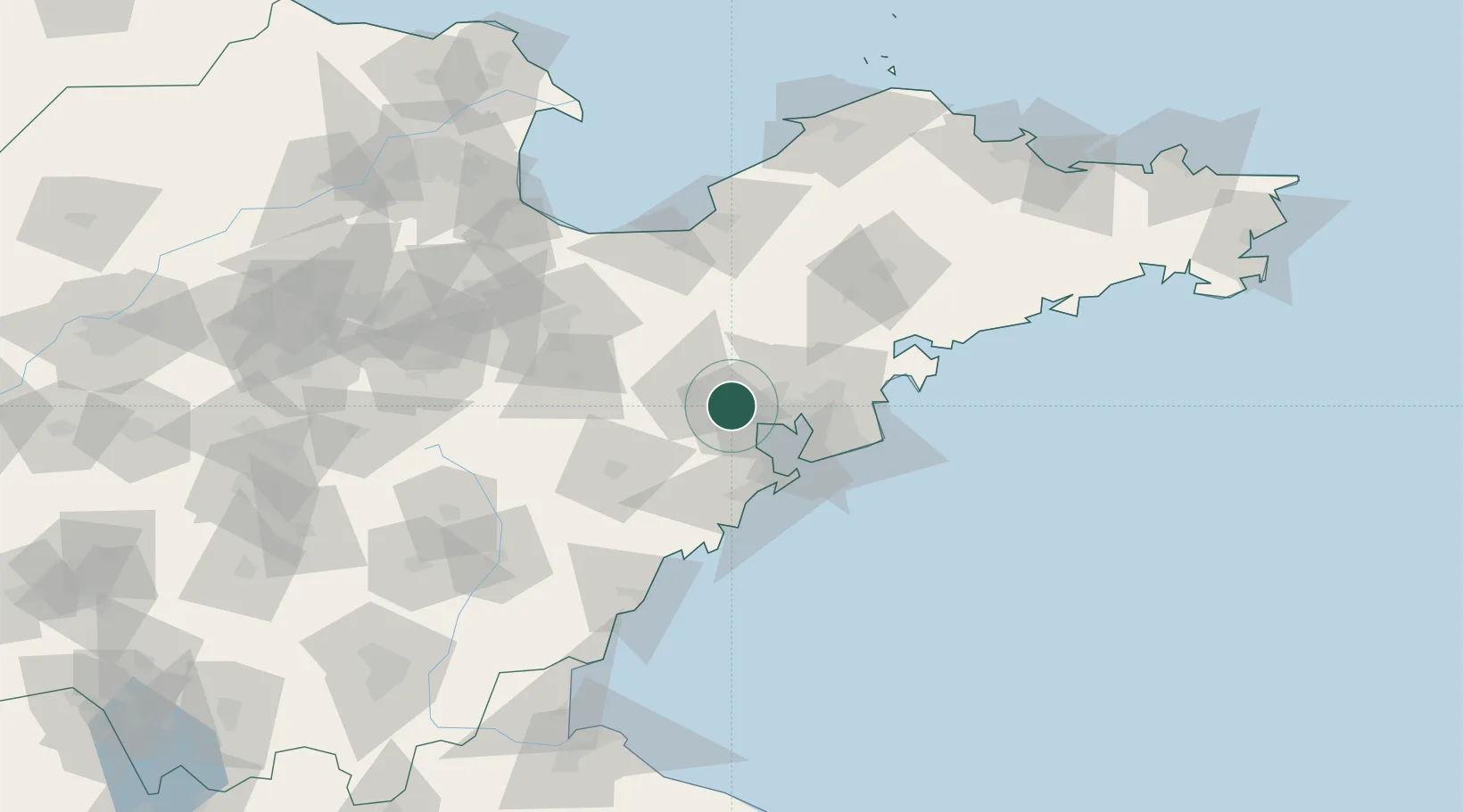
Nearby Logistics Neighbours

Cities
  1. 1Gaomi22 km
  2. 2Qianwan36 km
  3. 3Shijiu Pt38 km
  4. 4Qingdao39 km
  5. 5Xianlang42 km
Nearest neighbours — logibook spatial index (haversine) over the source coordinates
Ports
  1. 1Qingdao Gang41 km
  2. 2Rizhao109 km
  3. 3Lanshan147 km
  4. 4Longkou Gang150 km
  5. 5Lianyungang182 km
Nearest neighbours — logibook spatial index (haversine) over the source coordinates
Airports
  1. 1Jiaozhou Jiaocheng Air Base5 km
  2. 2Qingdao Jiaodong International Airport12 km
  3. 3Zhucheng Air Base57 km
  4. 4Weifang Nanyuan Airport85 km
  5. 5Laiyang Air Base91 km
Nearest neighbours — logibook spatial index (haversine) over the source coordinates
DatabookThe Record of Consolidated Knowledge
China beyond logistics?
Browse databook

All Sources

LocationsUN/LOCODE
UN/LOCODE — free
LocationsGeoNames
CC BY 4.0
Portsthe NGA World Port Index
Public domain (US gov)
AirportsOurAirports
Public domain
Trade Zonesthe World Bank SEZ database
CC BY 4.0
Trade ZonesOpen Zone Map
CC BY
← China locations