Transport Functions
Port
Hub Profile
Region
SD
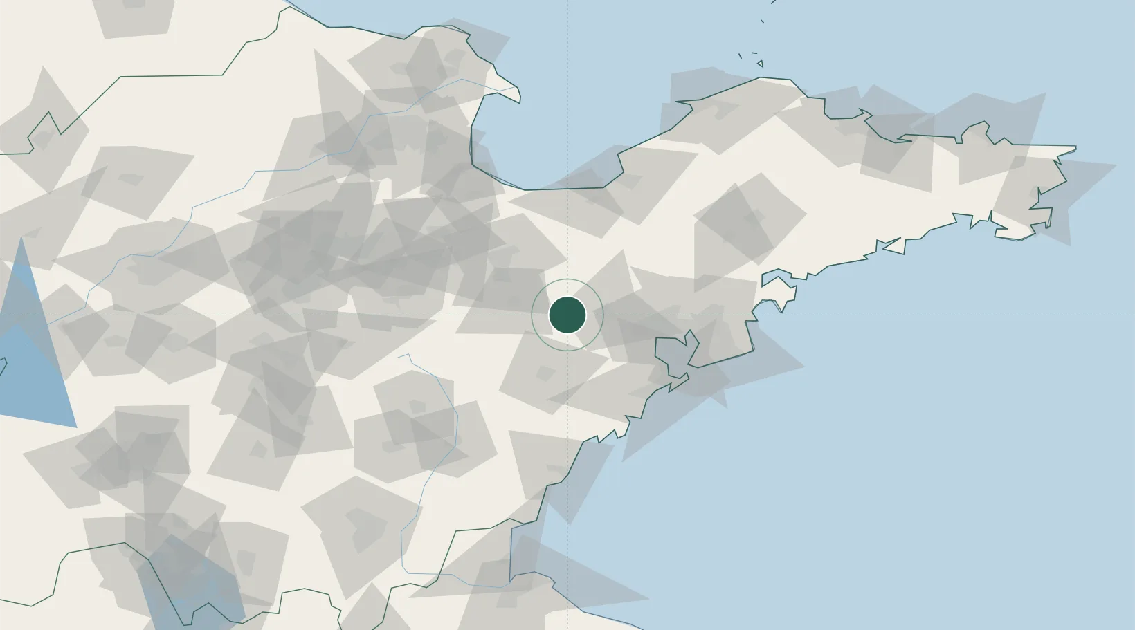
Location
Nearby Logistics Neighbours
Ports
- 1Qingdao Gang74 km
- 2Rizhao109 km
- 3Lanshan144 km
- 4Longkou Gang155 km
- 5Lianyungang182 km
Airports
DatabookThe Record of Consolidated Knowledge
China beyond logistics?