Transport Functions
Port
Road
Hub Profile
Place type
Populated place
Region
Jiangsu
Time zone
Asia/Shanghai
Elevation
5 m
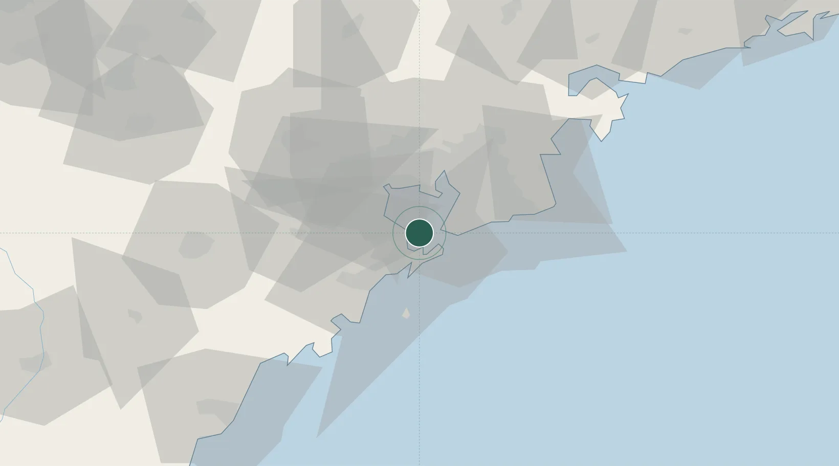
Location
Nearby Logistics Neighbours
Ports
- 1Qingdao Gang5 km
- 2Rizhao95 km
- 3Lanshan133 km
- 4Lianyungang162 km
- 5Longkou Gang176 km
Airports
- 1Jiaozhou Jiaocheng Air Base36 km
- 2Qingdao Jiaodong International Airport37 km
- 3Zhucheng Air Base70 km
- 4Laiyang Air Base107 km
- 5Rizhao Shanzihe Airport108 km
DatabookThe Record of Consolidated Knowledge
China beyond logistics?