UN/LOCODE hub · China
CNQIN
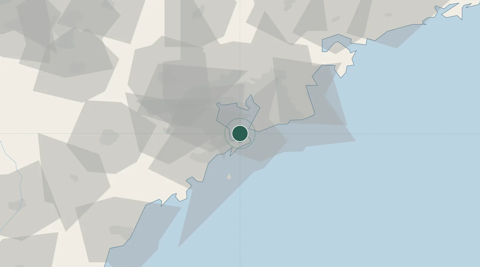
Qingdao
36.0310°, 120.2368°
7,172,451
Population
4
Transport functions
4
Container terminals
Transport Functions
Port
Rail
Airport
Postal
Hub Profile
Place type
Provincial seat
Region
Shandong
Population
7,172,451
Time zone
Asia/Shanghai
Elevation
16 m
Logistics facilities
13
Container terminals
4
Location
Nearby Logistics Neighbours
Ports
- 1Rizhao94 km
- 2Lanshan132 km
- 3Lianyungang161 km
- 4Longkou Gang178 km
- 5Yantai201 km
Airports
- 1Jiaozhou Jiaocheng Air Base38 km
- 2Qingdao Jiaodong International Airport39 km
- 3Zhucheng Air Base72 km
- 4Rizhao Shanzihe Airport108 km
- 5Laiyang Air Base108 km
DatabookThe Record of Consolidated Knowledge
China beyond logistics?