Transport Functions
Multimodal
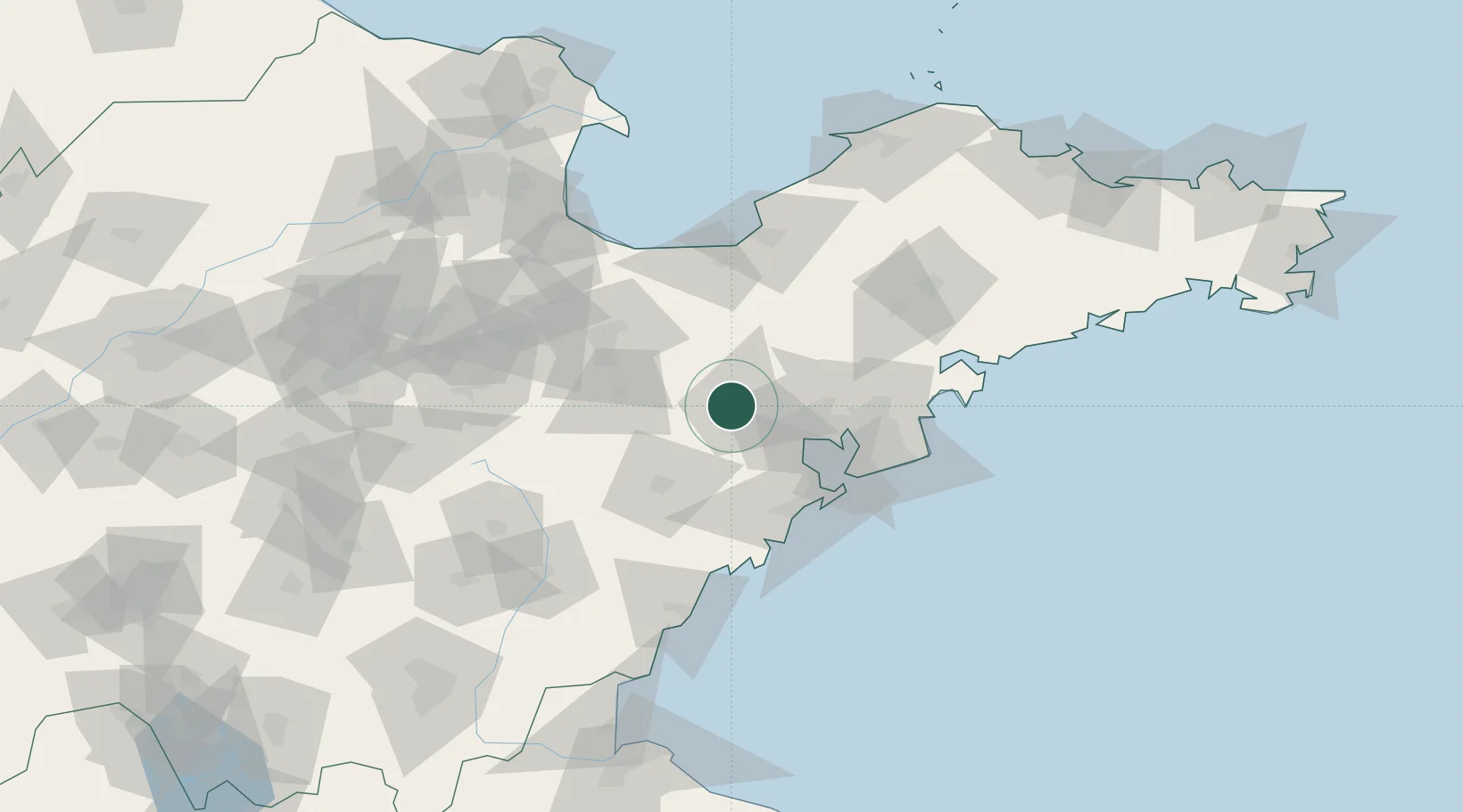
Hub Profile
Place type
District seat
Region
Shandong
Population
391,986
Time zone
Asia/Shanghai
Elevation
24 m
Location
Nearby Logistics Neighbours
Ports
- 1Qingdao Gang61 km
- 2Rizhao112 km
- 3Longkou Gang147 km
- 4Lanshan149 km
- 5Lianyungang186 km
Airports
Trade Zones
DatabookThe Record of Consolidated Knowledge
China beyond logistics?