Medium airport · China

Weifang Nanyuan AirportZSWF
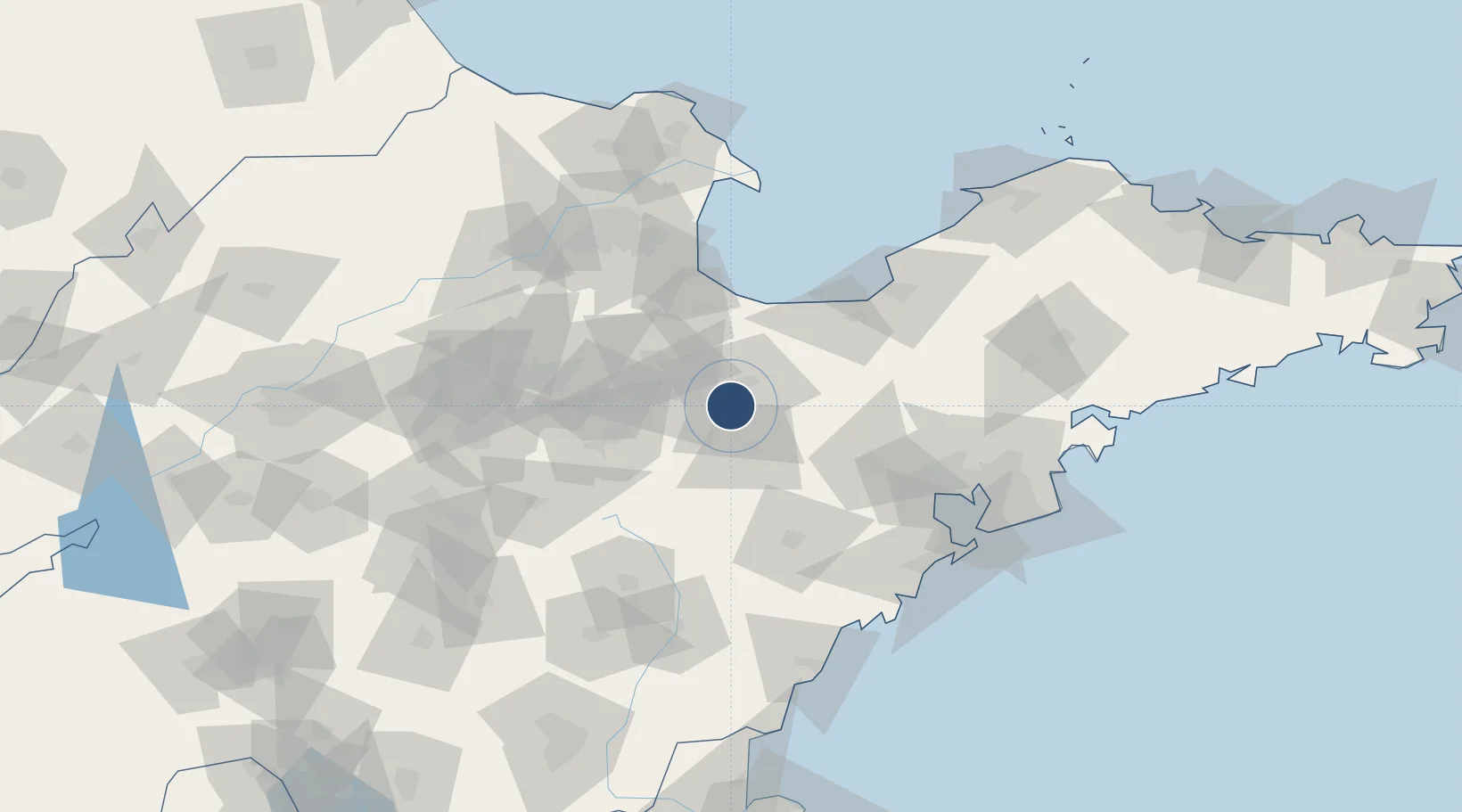
36.6467°, 119.1190°
8,530 ft
Longest runway
1
Runways

Runway & Layout

Weifang Nanyuan Airport runway & taxiway layout
Runway & taxiway layout — OpenStreetMap (ODbL) / OurAirports

Runways · 1

RunwayDimensions SurfaceTrue headingLit
17/35 8,530 × —ft Concrete
OurAirports

Airport Specifications

IATA code
WEF
OurAirports
ICAO code
ZSWF
OurAirports
Airport class
Medium airport
OurAirports
Scheduled service
Yes
OurAirports
Runway surface
Concrete
OurAirports
Served city
Weifang (Kuiwen)
OurAirports

Location

Location of ZSWF
Natural Earth 10m (public domain) · Shandong · ZSWF · 36.65, 119.12GoogleOSMYandex

Nearby Logistics Neighbours

Airports
  1. 1Zhucheng Air Base75 km
  2. 2Jiaozhou Jiaocheng Air Base88 km
  3. 3Qingdao Jiaodong International Airport92 km
  4. 4Dongying Shengli Airport99 km
  5. 5Laiyang Air Base136 km
Nearest neighbours — logibook spatial index (haversine) over the source coordinates
Cities
  1. 1Anqiu26 km
  2. 2Shijiu Pt50 km
  3. 3Gaomi64 km
  4. 4Linzi64 km
  5. 5Weifang66 km
Nearest neighbours — logibook spatial index (haversine) over the source coordinates
Ports
  1. 1Qingdao Gang123 km
  2. 2Rizhao146 km
  3. 3Longkou Gang151 km
  4. 4Lanshan176 km
  5. 5Penglai200 km
Nearest neighbours — logibook spatial index (haversine) over the source coordinates
Trade Zones
  1. 1Weifang Phoenix Mountain High-tech Industrial Park5 km
  2. 2Weifang Export Processing Zone13 km
  3. 3Changle Economic Development Zone24 km
  4. 4Changyi Economic Development Zone33 km
  5. 5Linqu Economic Development Zone53 km
Nearest neighbours — logibook spatial index (haversine) over the source coordinates
DatabookThe Record of Consolidated Knowledge
China beyond logistics?
Browse databook

All Sources

AirportsOurAirports
Public domain
Portsthe NGA World Port Index
Public domain (US gov)
LocationsUN/LOCODE
UN/LOCODE — free
Trade Zonesthe World Bank SEZ database
CC BY 4.0
Trade ZonesOpen Zone Map
CC BY
InfrastructureOpenStreetMap
ODbL 1.0
← China airports