Export Processing Zone · China

Qingdao Chengyang Industrial Park Active
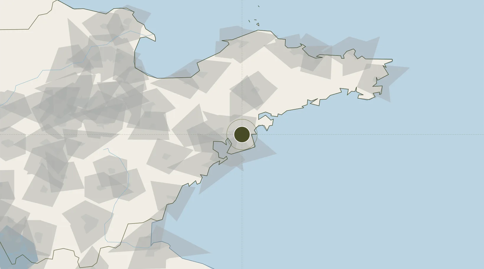
36.3251°, 120.5097°
485 ha
Zone area
39.1 km
Nearest port
38.0 km
Nearest airport

Gateway access

Nearest neighbours — logibook spatial index (haversine) over the source coordinates

Zone profile

Zone type
Export Processing Zone
Open Zone Map
Region
Shandong
Open Zone Map
Status
Active
Open Zone Map
Management
Private
Open Zone Map
Operator
Working Committee of Qingdao Chengyang Industrial Park
Open Zone Map
Legal framework
Reply to the adjustment of the planning location of Qingdao Chengyang Industrial Park
Open Zone Map

Location

Location of ozm-1162
Natural Earth 10m (public domain) · Shandong · ozm-1162 · 36.33, 120.51GoogleOSMYandex

Nearby Logistics Neighbours

Ports
  1. 1Qingdao Gang39 km
  2. 2Rizhao135 km
  3. 3Longkou Gang147 km
  4. 4Yantai160 km
  5. 5Penglai168 km
Nearest neighbours — logibook spatial index (haversine) over the source coordinates
Airports
  1. 1Qingdao Jiaodong International Airport38 km
  2. 2Jiaozhou Jiaocheng Air Base43 km
  3. 3Laiyang Air Base71 km
  4. 4Zhucheng Air Base102 km
  5. 5Weifang Nanyuan Airport129 km
Nearest neighbours — logibook spatial index (haversine) over the source coordinates
Cities
  1. 1Aoshanwei14 km
  2. 2Nudao33 km
  3. 3Qianwan40 km
  4. 4Qingdao41 km
  5. 5Xianlang44 km
Nearest neighbours — logibook spatial index (haversine) over the source coordinates
DatabookThe Record of Consolidated Knowledge
China beyond logistics?
Browse databook

All Sources

Trade ZonesOpen Zone Map
CC BY
Portsthe NGA World Port Index
Public domain (US gov)
AirportsOurAirports
Public domain
LocationsUN/LOCODE
UN/LOCODE — free
← China trade zones