Runway & Layout

Airport Specifications
Airport class
Medium airport
Scheduled service
No
Served city
Weifang (Zhucheng)
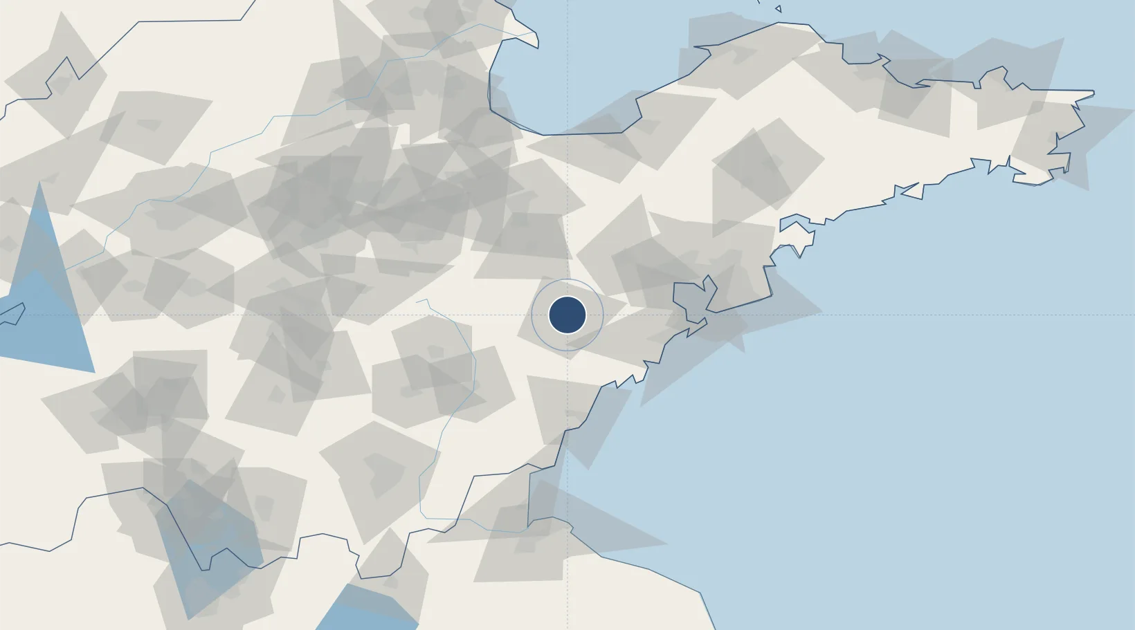
Location
Nearby Logistics Neighbours
Airports
Cities
- 1Shijiu Pt39 km
- 2Gaomi49 km
- 3Anqiu49 km
- 4Dongjiakou56 km
- 5Jiaozhou57 km
Ports
- 1Rizhao73 km
- 2Qingdao Gang75 km
- 3Lanshan106 km
- 4Lianyungang144 km
- 5Longkou Gang194 km
DatabookThe Record of Consolidated Knowledge
China beyond logistics?