Transport Functions
Port
Hub Profile
Place type
Populated place
Region
Hebei
Time zone
Asia/Shanghai
Elevation
1,591 m
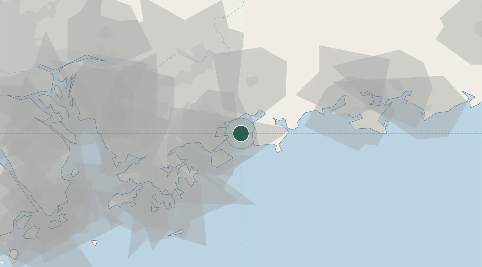
Location
Nearby Logistics Neighbours
Cities
- 1Dapeng19 km
- 2Bijia20 km
- 3Guangdong Terminal26 km
- 4Huizhou31 km
- 5Huidong Pt35 km
Airports
Trade Zones
DatabookThe Record of Consolidated Knowledge
China beyond logistics?