Transport Functions
Port
Hub Profile
Place type
Populated place
Region
Jiangxi
Time zone
Asia/Shanghai
Elevation
86 m
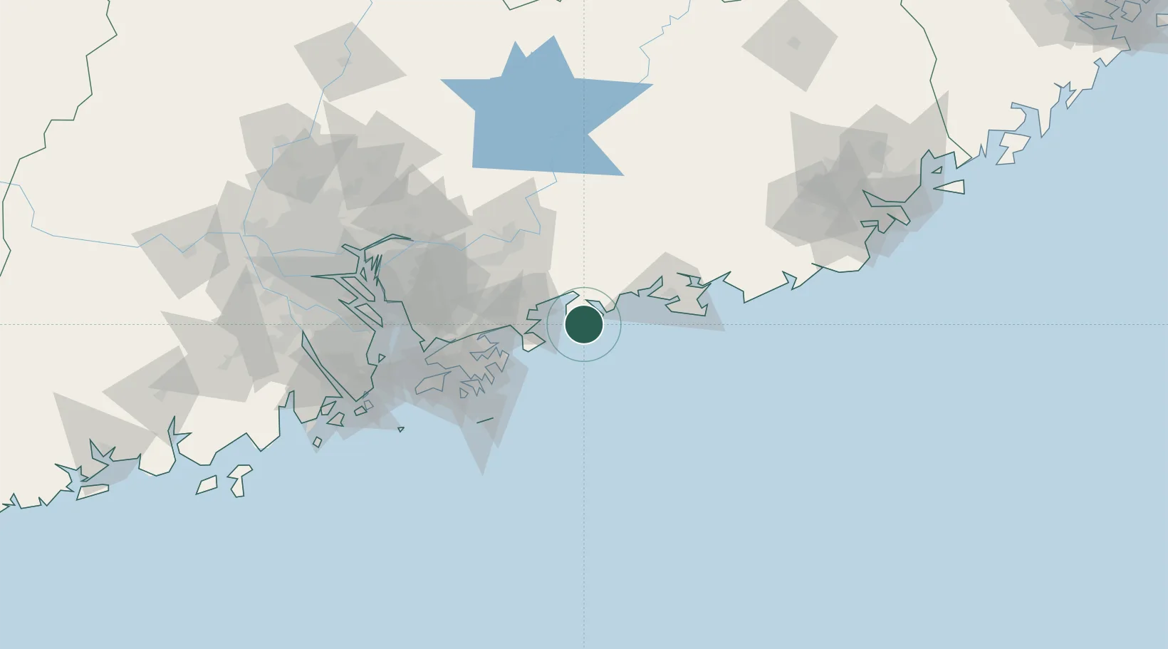
Location
Nearby Logistics Neighbours
Cities
- 1Dayawan20 km
- 2Dapeng36 km
- 3Guangdong Terminal43 km
- 4Huidong Pt44 km
- 5Huizhou50 km
Airports
- 1Huizhou Pingtan Airport55 km
- 2Shun Tak Heliport80 km
- 3Shek Kong Air Base82 km
- 4Hong Kong International Airport102 km
- 5Shenzhen Bao'an International Airport108 km
Trade Zones
DatabookThe Record of Consolidated Knowledge
China beyond logistics?