Transport Functions
Rail
Road
Hub Profile
Place type
Populated place
Region
Guangdong
Time zone
Asia/Shanghai
Elevation
6 m
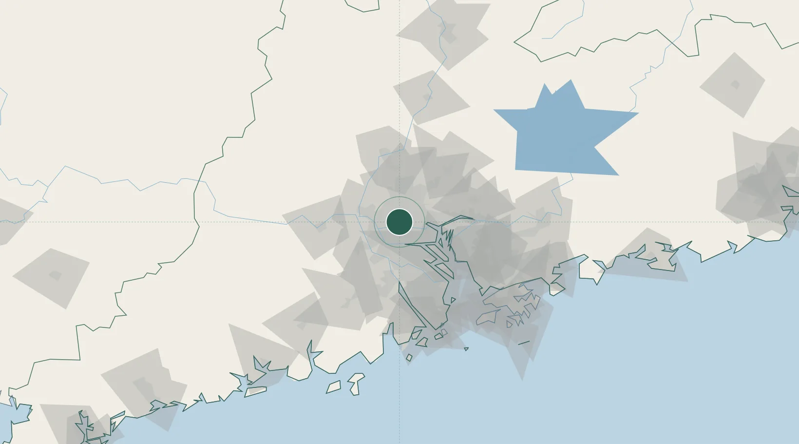
Location
Nearby Logistics Neighbours
Cities
- 1Guangzhou Pt8 km
- 2Pingzhou8 km
- 3Sanshui9 km
- 4Xingang10 km
- 5Sanyuanli/Guangzhou10 km
Ports
- 1Guangzhou7 km
- 2Huangpu26 km
- 3Huangpuxingang35 km
- 4Shekou101 km
- 5Zhuhai105 km
Airports
Trade Zones
DatabookThe Record of Consolidated Knowledge
China beyond logistics?