Transport Functions
Port
Hub Profile
Place type
Local administrative seat
Region
Guangdong
Time zone
Asia/Shanghai
Elevation
95 m
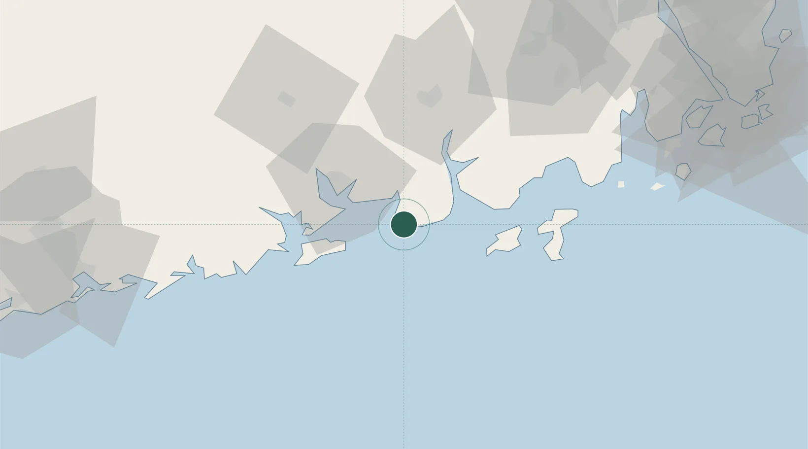
Location
Nearby Logistics Neighbours
Airports
- 1Zhuhai Jinwan Airport124 km
- 2Macau International Airport150 km
- 3Zhanjiang Wuchuan International Airport170 km
- 4Foshan Shadi Airport175 km
- 5Hong Kong International Airport187 km
DatabookThe Record of Consolidated Knowledge
China beyond logistics?