Diversified Zone · China

Yangjiang Industrial Park Active
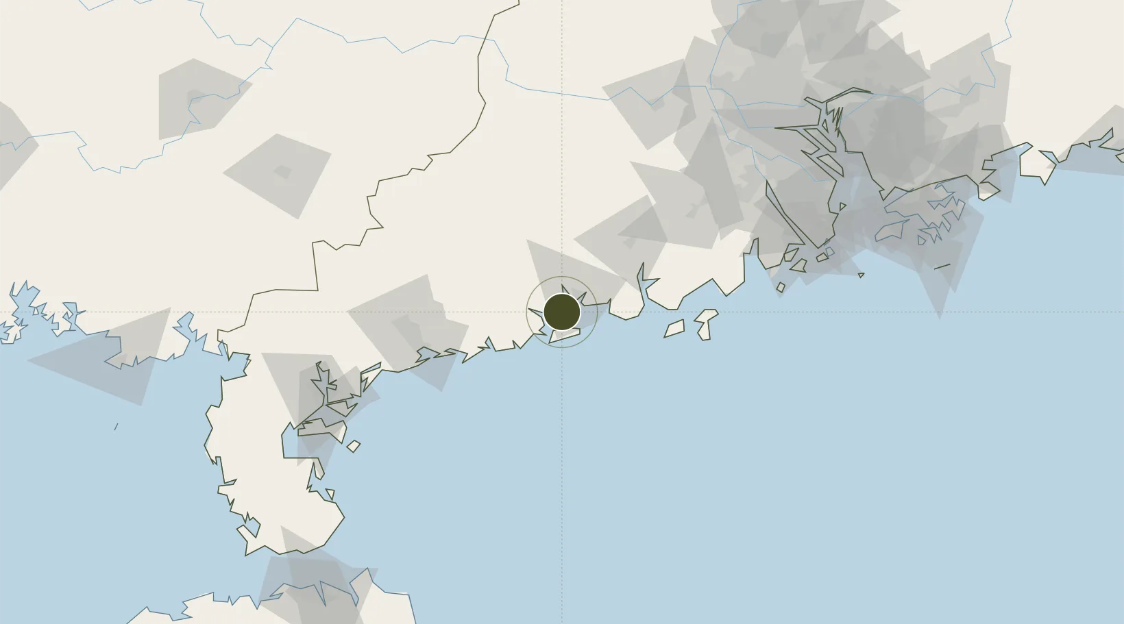
21.7582°, 111.8886°
21,370 ha
Zone area
88.7 km
Nearest port
137.7 km
Nearest airport

Gateway access

Nearest neighbours — logibook spatial index (haversine) over the source coordinates

Zone profile

Zone type
Diversified Zone
Open Zone Map
Region
Guangdong
Open Zone Map
Status
Active
Open Zone Map
Management
Public
Open Zone Map
Operator
Management Committee of Yangjiang Industrial Park
Open Zone Map
Legal framework
Approved by the people's government of Guangdong Province, the provincial high-tech industry development zone was formally established in 2003
Open Zone Map

Location

Location of ozm-1019
Natural Earth 10m (public domain) · Guangdong · ozm-1019 · 21.76, 111.89GoogleOSMYandex

Nearby Logistics Neighbours

Ports
  1. 1Shui Dong89 km
  2. 2Zhanjiang166 km
  3. 3Macau179 km
  4. 4Zhuhai183 km
  5. 5Guangzhou205 km
Nearest neighbours — logibook spatial index (haversine) over the source coordinates
Airports
  1. 1Zhanjiang Wuchuan International Airport138 km
  2. 2Zhuhai Jinwan Airport156 km
  3. 3Suixi Air Base179 km
  4. 4Macau International Airport181 km
  5. 5Foshan Shadi Airport191 km
Nearest neighbours — logibook spatial index (haversine) over the source coordinates
Cities
  1. 1Yangjiang9 km
  2. 2Xitou16 km
  3. 3Zhapo22 km
  4. 4Dongping34 km
  5. 5Jiugang46 km
Nearest neighbours — logibook spatial index (haversine) over the source coordinates
DatabookThe Record of Consolidated Knowledge
China beyond logistics?
Browse databook

All Sources

Trade ZonesOpen Zone Map
CC BY
Portsthe NGA World Port Index
Public domain (US gov)
AirportsOurAirports
Public domain
LocationsUN/LOCODE
UN/LOCODE — free
← China trade zones