UN/LOCODE hub · China
CNGHI

Guanghai Pt

21.9667°, 112.8000°
1
Transport functions

Transport Functions

Port
UN/LOCODE

Hub Profile

Region
GD
GeoNames

Location

Location of CNGHI
Natural Earth 10m (public domain) · GD · CNGHI · 21.97, 112.80GoogleOSMYandex

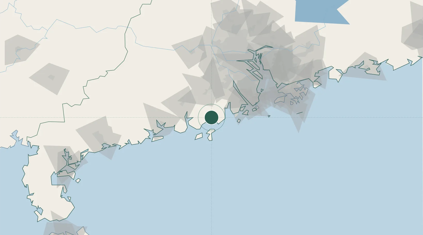
Nearby Logistics Neighbours

Cities
  1. 1Pingshaxinmatou41 km
  2. 2Shadi41 km
  3. 3Shuibu41 km
  4. 4Civet / Guandong43 km
  5. 5Gaolan44 km
Nearest neighbours — logibook spatial index (haversine) over the source coordinates
Ports
  1. 1Macau83 km
  2. 2Zhuhai86 km
  3. 3Shekou123 km
  4. 4Guangzhou135 km
  5. 5Huangpu139 km
Nearest neighbours — logibook spatial index (haversine) over the source coordinates
Airports
  1. 1Zhuhai Jinwan Airport60 km
  2. 2Macau International Airport84 km
  3. 3Hong Kong International Airport121 km
  4. 4Foshan Shadi Airport127 km
  5. 5Shenzhen Bao'an International Airport128 km
Nearest neighbours — logibook spatial index (haversine) over the source coordinates
DatabookThe Record of Consolidated Knowledge
China beyond logistics?
Browse databook

All Sources

LocationsUN/LOCODE
UN/LOCODE — free
Portsthe NGA World Port Index
Public domain (US gov)
AirportsOurAirports
Public domain
Trade Zonesthe World Bank SEZ database
CC BY 4.0
Trade ZonesOpen Zone Map
CC BY
← China locations