Export Processing Zone · China

Yangjiang High-tech Industrial Development Zone Active
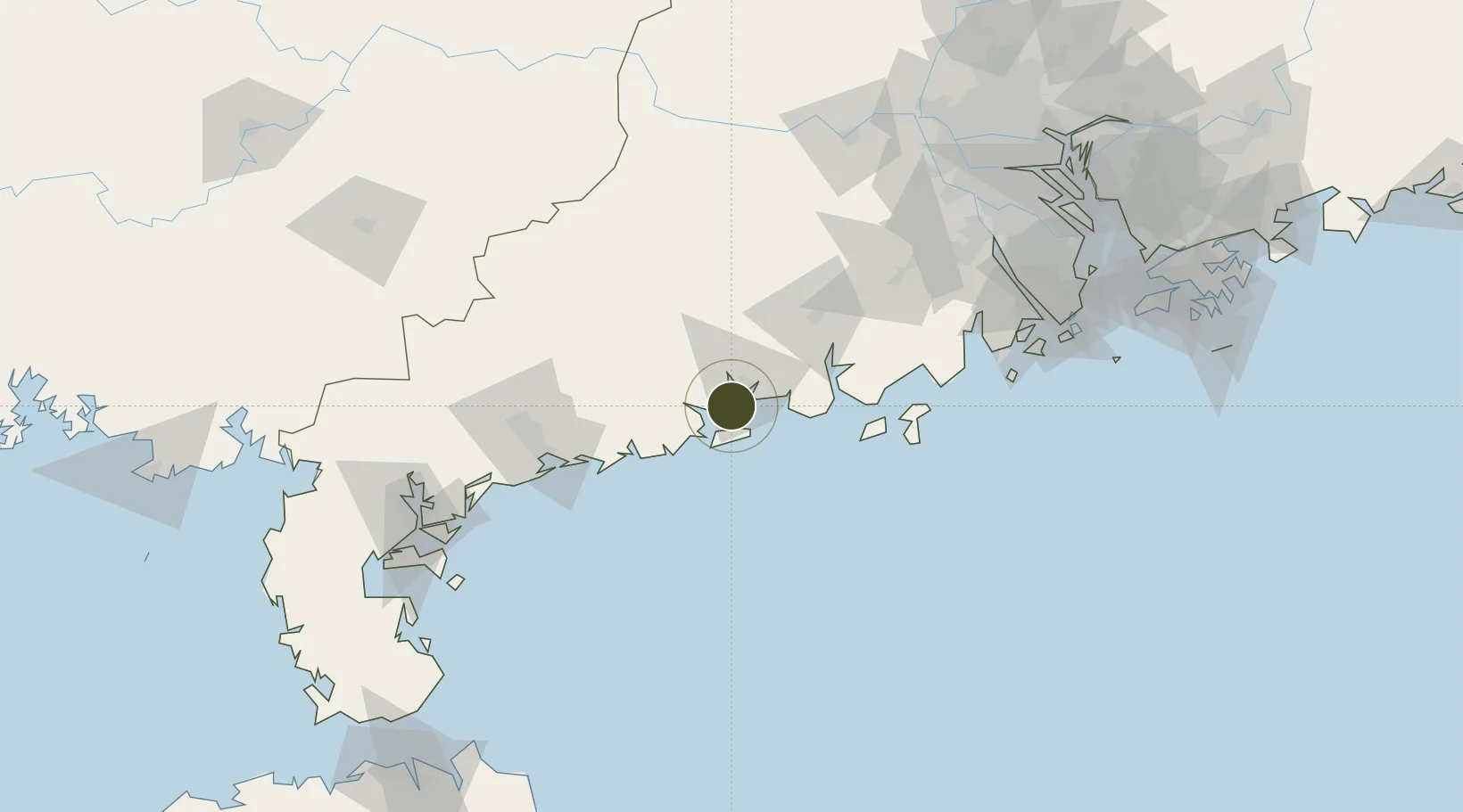
21.7652°, 111.9096°
2,130 ha
Zone area
91.0 km
Nearest port
140.0 km
Nearest airport

Gateway access

Nearest neighbours — logibook spatial index (haversine) over the source coordinates

Zone profile

Zone type
Export Processing Zone
Open Zone Map
Region
Guangdong
Open Zone Map
Status
Active
Open Zone Map
Management
Public
Open Zone Map
Operator
Trade Union Committee of The Administrative Committee of Yangjiang High-tech Zone
Open Zone Map
Legal framework
Approved by the people's government of Guangdong Province, the new and high technology industry development zone at the provincial level was formally established in 2003. It belongs to the agency dispatched by yangjiang Municipal government and exercises
Open Zone Map

Location

Location of ozm-1358
Natural Earth 10m (public domain) · Guangdong · ozm-1358 · 21.77, 111.91GoogleOSMYandex

Nearby Logistics Neighbours

Ports
  1. 1Shui Dong91 km
  2. 2Zhanjiang168 km
  3. 3Macau177 km
  4. 4Zhuhai180 km
  5. 5Guangzhou203 km
Nearest neighbours — logibook spatial index (haversine) over the source coordinates
Airports
  1. 1Zhanjiang Wuchuan International Airport140 km
  2. 2Zhuhai Jinwan Airport154 km
  3. 3Macau International Airport179 km
  4. 4Suixi Air Base182 km
  5. 5Foshan Shadi Airport189 km
Nearest neighbours — logibook spatial index (haversine) over the source coordinates
Cities
  1. 1Yangjiang11 km
  2. 2Xitou18 km
  3. 3Zhapo23 km
  4. 4Dongping32 km
  5. 5Jiugang48 km
Nearest neighbours — logibook spatial index (haversine) over the source coordinates
DatabookThe Record of Consolidated Knowledge
China beyond logistics?
Browse databook

All Sources

Trade ZonesOpen Zone Map
CC BY
Portsthe NGA World Port Index
Public domain (US gov)
AirportsOurAirports
Public domain
LocationsUN/LOCODE
UN/LOCODE — free
← China trade zones