Transport Functions
Road
Multimodal
Hub Profile
Place type
Local administrative seat
Region
Guangdong
Time zone
Asia/Shanghai
Elevation
11 m
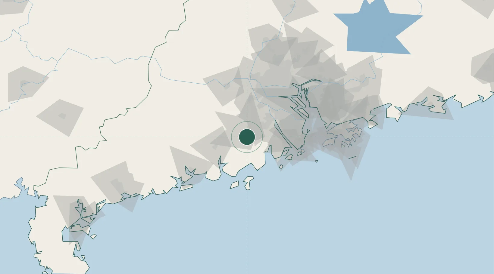
Location
Nearby Logistics Neighbours
Cities
- 1Sanbu Pt6 km
- 2Taishan11 km
- 3Daze29 km
- 4Civet / Guandong32 km
- 5Jinguzhou33 km
Ports
- 1Macau84 km
- 2Zhuhai85 km
- 3Guangzhou99 km
- 4Huangpu107 km
- 5Huangpuxingang110 km
Airports
DatabookThe Record of Consolidated Knowledge
China beyond logistics?