UN/LOCODE hub · China
CNSBU

Sanbu Pt

22.3700°, 112.7182°
1
Transport functions

Transport Functions

Port
UN/LOCODE

Hub Profile

Region
GD
GeoNames
Logistics facilities
2
UN/LOCODE

Location

Location of CNSBU
Natural Earth 10m (public domain) · GD · CNSBU · 22.37, 112.72GoogleOSMYandex

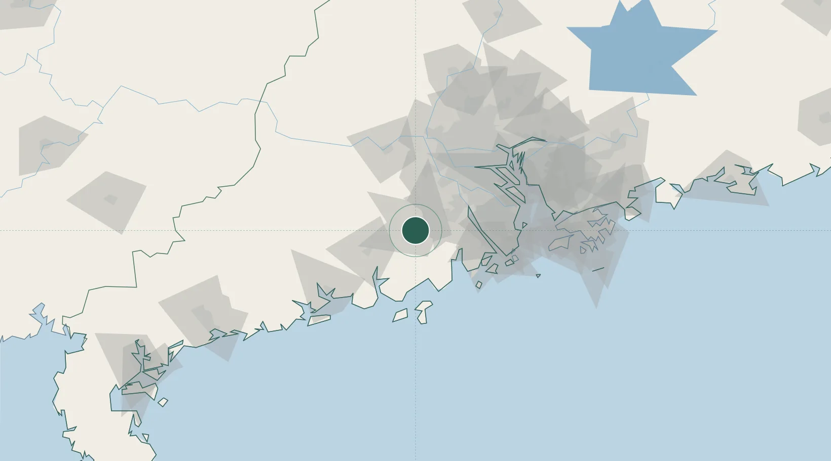
Nearby Logistics Neighbours

Cities
  1. 1Shuibu6 km
  2. 2Taishan10 km
  3. 3Daze30 km
  4. 4Jinguzhou35 km
  5. 5Xinhui Pt37 km
Nearest neighbours — logibook spatial index (haversine) over the source coordinates
Ports
  1. 1Macau90 km
  2. 2Zhuhai90 km
  3. 3Guangzhou98 km
  4. 4Huangpu107 km
  5. 5Huangpuxingang110 km
Nearest neighbours — logibook spatial index (haversine) over the source coordinates
Airports
  1. 1Zhuhai Jinwan Airport79 km
  2. 2Foshan Shadi Airport87 km
  3. 3Macau International Airport93 km
  4. 4Shenzhen Bao'an International Airport115 km
  5. 5Hong Kong International Airport123 km
Nearest neighbours — logibook spatial index (haversine) over the source coordinates
DatabookThe Record of Consolidated Knowledge
China beyond logistics?
Browse databook

All Sources

LocationsUN/LOCODE
UN/LOCODE — free
Portsthe NGA World Port Index
Public domain (US gov)
AirportsOurAirports
Public domain
Trade Zonesthe World Bank SEZ database
CC BY 4.0
Trade ZonesOpen Zone Map
CC BY
← China locations