Transport Functions
Port
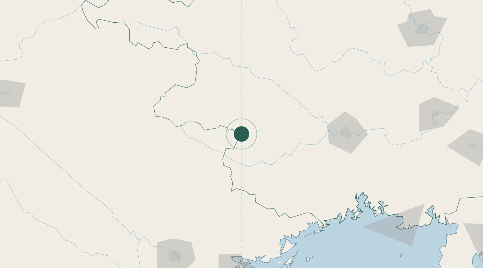
Hub Profile
Place type
Populated place
Region
Guangxi
Time zone
Asia/Shanghai
Elevation
524 m
Location
Nearby Logistics Neighbours
Cities
- 1Pingxiang Railway Station76 km
- 2Nanning156 km
- 3Thái Nguyên169 km
- 4Dongxing191 km
- 5Gia Lam196 km
Ports
- 1Fang-Cheng198 km
- 2Cam Pha205 km
- 3Hon Gai208 km
- 4Hai Phong210 km
- 5Qinzhou219 km
Airports
DatabookThe Record of Consolidated Knowledge
China beyond logistics?