Transport Functions
Port
Rail
Road
Hub Profile
Place type
Provincial seat
Region
Guangdong
Population
491,766
Time zone
Asia/Shanghai
Elevation
9 m
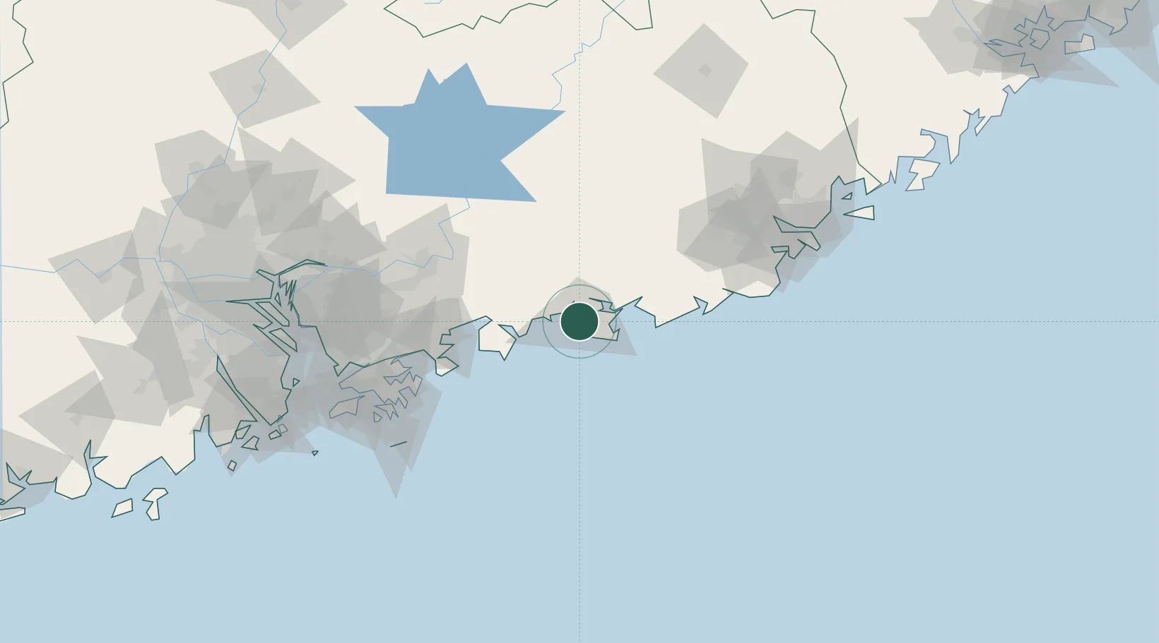
Location
Nearby Logistics Neighbours
Cities
- 1Wukan32 km
- 2Donghai34 km
- 3Lufeng34 km
- 4Mabian Island46 km
- 5Bijia55 km
Airports
- 1Huizhou Pingtan Airport82 km
- 2Shun Tak Heliport135 km
- 3Shek Kong Air Base136 km
- 4Jieyang Chaoshan International Airport146 km
- 5Hong Kong International Airport156 km
DatabookThe Record of Consolidated Knowledge
China beyond logistics?