Transport Functions
Port
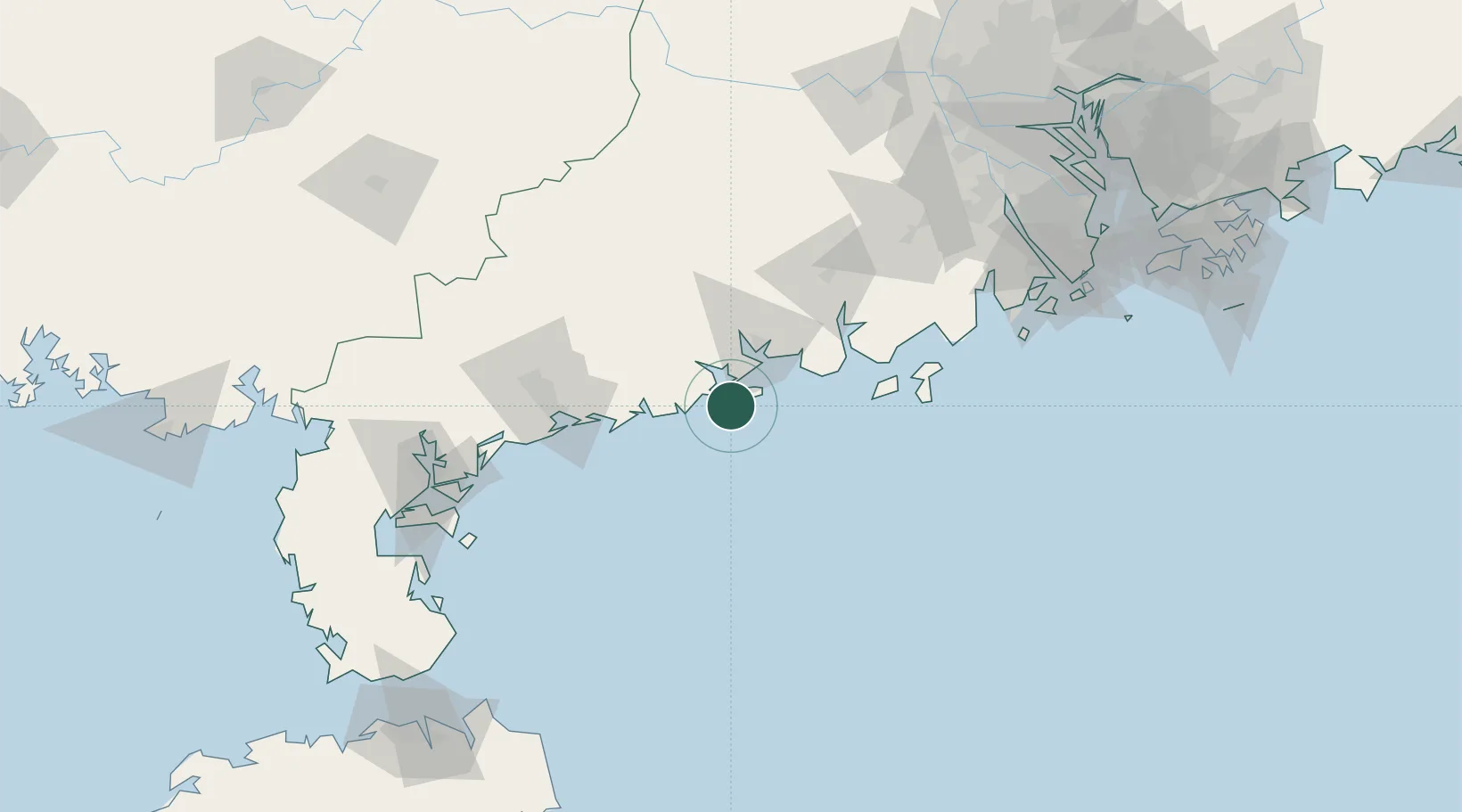
Hub Profile
Place type
Populated place
Region
Guangdong
Time zone
Asia/Shanghai
Elevation
13 m
Location
Nearby Logistics Neighbours
Airports
- 1Zhanjiang Wuchuan International Airport131 km
- 2Zhuhai Jinwan Airport165 km
- 3Suixi Air Base172 km
- 4Macau International Airport191 km
- 5Yulin Fumian Airport203 km
DatabookThe Record of Consolidated Knowledge
China beyond logistics?