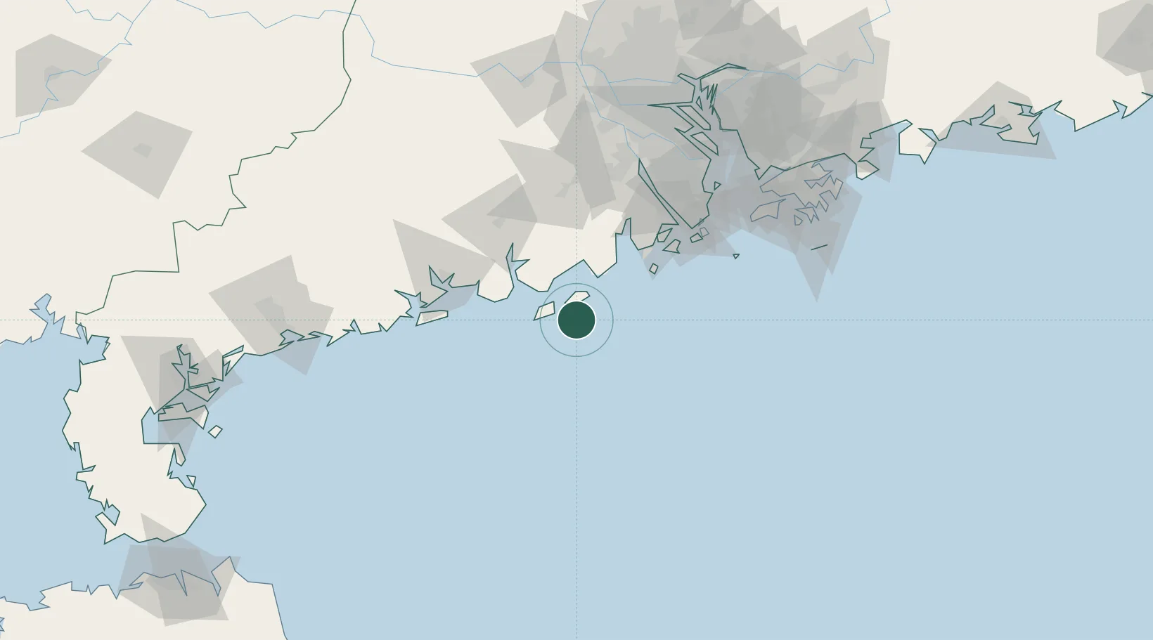
UN/LOCODE hub · China
CNSAT

Shadi

21.6000°, 112.7833°
1
Transport functions

Transport Functions

Port
UN/LOCODE

Hub Profile

Place type
Populated place
GeoNames
Region
Guangdong
GeoNames
Time zone
Asia/Shanghai
GeoNames
Elevation
3 m
GeoNames

Location

Location of CNSAT
Natural Earth 10m (public domain) · Guangdong · CNSAT · 21.60, 112.78GoogleOSMYandex

Nearby Logistics Neighbours

Cities
  1. 1Guanghai Pt41 km
  2. 2Gaolan59 km
  3. 3Dongping60 km
  4. 4Pingshaxinmatou68 km
  5. 5Sanzao77 km
Nearest neighbours — logibook spatial index (haversine) over the source coordinates
Ports
  1. 1Macau104 km
  2. 2Zhuhai109 km
  3. 3Shekou148 km
  4. 4Hong Kong164 km
  5. 5Guangzhou175 km
Nearest neighbours — logibook spatial index (haversine) over the source coordinates
Airports
  1. 1Zhuhai Jinwan Airport76 km
  2. 2Macau International Airport103 km
  3. 3Hong Kong International Airport141 km
  4. 4Shenzhen Bao'an International Airport156 km
  5. 5Shun Tak Heliport161 km
Nearest neighbours — logibook spatial index (haversine) over the source coordinates
DatabookThe Record of Consolidated Knowledge
China beyond logistics?
Browse databook

All Sources

LocationsUN/LOCODE
UN/LOCODE — free
Portsthe NGA World Port Index
Public domain (US gov)
AirportsOurAirports
Public domain
Trade Zonesthe World Bank SEZ database
CC BY 4.0
Trade ZonesOpen Zone Map
CC BY
← China locations