Transport Functions
Port
Hub Profile
Place type
Local administrative seat
Region
Guangdong
Time zone
Asia/Shanghai
Elevation
8 m
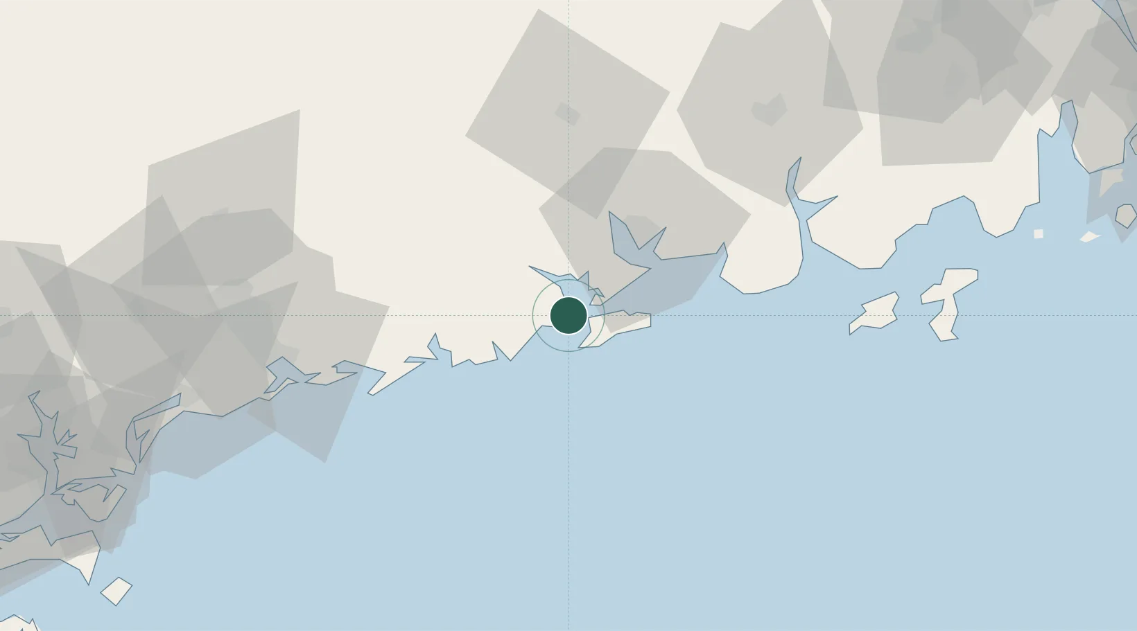
Location
Nearby Logistics Neighbours
Airports
- 1Zhanjiang Wuchuan International Airport125 km
- 2Suixi Air Base166 km
- 3Zhuhai Jinwan Airport169 km
- 4Yulin Fumian Airport192 km
- 5Macau International Airport195 km
DatabookThe Record of Consolidated Knowledge
China beyond logistics?