Export Processing Zone · China

Yangxi County Industrial Transfer Industrial Park Active
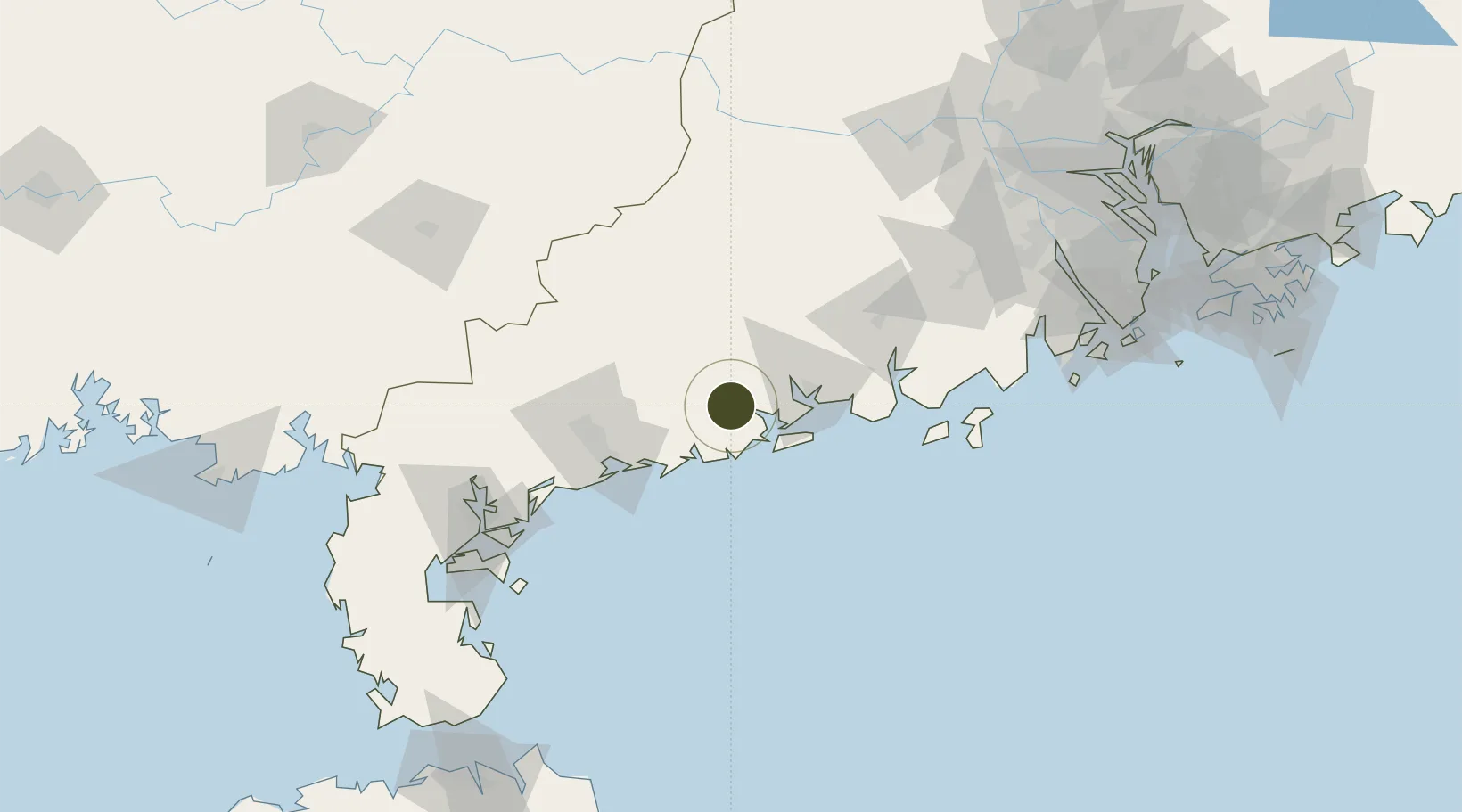
21.7847°, 111.6070°
733 ha
Zone area
63.7 km
Nearest port
110.4 km
Nearest airport

Gateway access

Nearest neighbours — logibook spatial index (haversine) over the source coordinates

Zone profile

Zone type
Export Processing Zone
Open Zone Map
Region
Guangdong
Open Zone Map
Status
Active
Open Zone Map
Management
Public
Open Zone Map
Operator
Management Committee of Yangxi County High-tech Industrial Development Zone
Open Zone Map
Legal framework
Unavailable
Open Zone Map

Location

Location of ozm-1210
Natural Earth 10m (public domain) · Guangdong · ozm-1210 · 21.78, 111.61GoogleOSMYandex

Nearby Logistics Neighbours

Ports
  1. 1Shui Dong64 km
  2. 2Zhanjiang141 km
  3. 3Macau207 km
  4. 4Zhuhai210 km
  5. 5Guangzhou223 km
Nearest neighbours — logibook spatial index (haversine) over the source coordinates
Airports
  1. 1Zhanjiang Wuchuan International Airport110 km
  2. 2Suixi Air Base152 km
  3. 3Yulin Fumian Airport169 km
  4. 4Zhuhai Jinwan Airport184 km
  5. 5Wuzhou Xijiang Airport188 km
Nearest neighbours — logibook spatial index (haversine) over the source coordinates
Cities
  1. 1Jiugang21 km
  2. 2Xitou24 km
  3. 3Yangjiang24 km
  4. 4Shapa34 km
  5. 5Zhapo35 km
Nearest neighbours — logibook spatial index (haversine) over the source coordinates
Trade Zones
  1. 1Yangjiang Industrial Park29 km
  2. 2Yangjiang High-tech Industrial Development Zone31 km
  3. 3Maoming High-tech Industrial Development Zone69 km
  4. 4Maoming Maonan Economic Development Zone69 km
  5. 5Xinyi Economic Development Zone90 km
Nearest neighbours — logibook spatial index (haversine) over the source coordinates
DatabookThe Record of Consolidated Knowledge
China beyond logistics?
Browse databook

All Sources

Trade ZonesOpen Zone Map
CC BY
Portsthe NGA World Port Index
Public domain (US gov)
AirportsOurAirports
Public domain
LocationsUN/LOCODE
UN/LOCODE — free
← China trade zones