Transport Functions
Port
Rail
Road
Hub Profile
Place type
Provincial seat
Region
Guangdong
Population
1,292,987
Time zone
Asia/Shanghai
Elevation
15 m
Logistics facilities
1
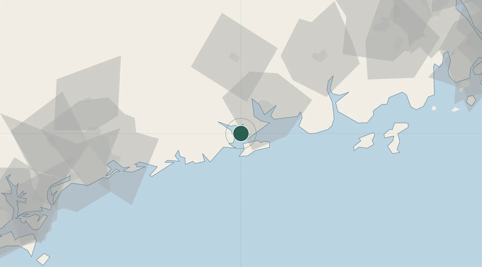
Location
Nearby Logistics Neighbours
Airports
- 1Zhanjiang Wuchuan International Airport130 km
- 2Zhuhai Jinwan Airport164 km
- 3Suixi Air Base171 km
- 4Macau International Airport189 km
- 5Yulin Fumian Airport193 km
DatabookThe Record of Consolidated Knowledge
China beyond logistics?