Export Processing Zone · China

Tongxing Industrial Park Active
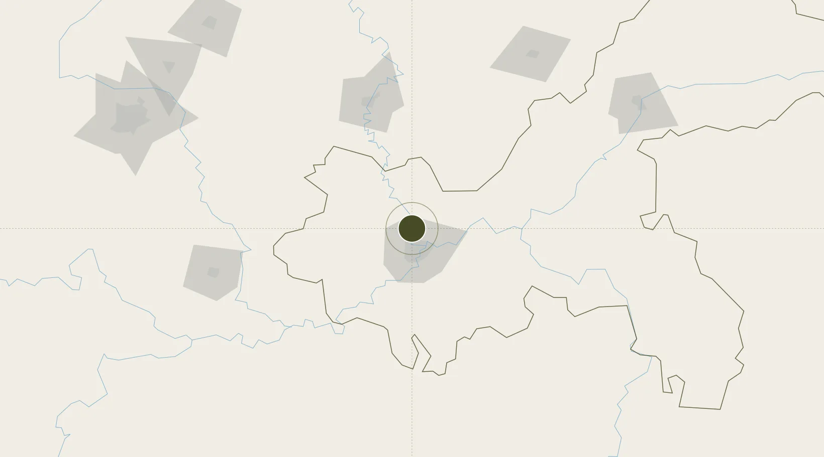
29.7330°, 106.4667°
1,107 ha
Zone area
757.3 km
Nearest port
18.0 km
Nearest airport

Gateway access

Nearest neighbours — logibook spatial index (haversine) over the source coordinates

Zone profile

Zone type
Export Processing Zone
Open Zone Map
Region
Chongqing
Open Zone Map
Status
Active
Open Zone Map
Management
Public
Open Zone Map
Operator
Management Committee of Chongqing Tongxing Industrial Park
Open Zone Map
Legal framework
Unavailable
Open Zone Map

Location

Location of ozm-1271
Natural Earth 10m (public domain) · Chongqing · ozm-1271 · 29.73, 106.47GoogleOSMYandex

Nearby Logistics Neighbours

Ports
  1. 1Hankow757 km
  2. 2Fang-Cheng907 km
  3. 3Qinzhou914 km
  4. 4Beihai954 km
  5. 5Cam Pha972 km
Nearest neighbours — logibook spatial index (haversine) over the source coordinates
Airports
  1. 1Chongqing Jiangbei International Airport18 km
  2. 2Chongqing Baishiyi Air Base28 km
  3. 3Nanchong Gaoping Airport122 km
  4. 4Chongqing Xiannüshan Airport122 km
  5. 5Luzhou Yunlong Airport124 km
Nearest neighbours — logibook spatial index (haversine) over the source coordinates
Cities
  1. 1Chongqing18 km
  2. 2Fuling88 km
  3. 3Suining126 km
  4. 4Luzhou139 km
  5. 5Xiantan160 km
Nearest neighbours — logibook spatial index (haversine) over the source coordinates
Trade Zones
  1. 1Chongqing New North Zone (CNNZ)12 km
  2. 2Xiyong Microelectronics Industrial Park16 km
  3. 3Gangcheng Industrial Park22 km
  4. 4Hechuan Industrial Park29 km
  5. 5Jianqiao Industrial Park35 km
Nearest neighbours — logibook spatial index (haversine) over the source coordinates
DatabookThe Record of Consolidated Knowledge
China beyond logistics?
Browse databook

All Sources

Trade ZonesOpen Zone Map
CC BY
Portsthe NGA World Port Index
Public domain (US gov)
AirportsOurAirports
Public domain
LocationsUN/LOCODE
UN/LOCODE — free
← China trade zones