Small airport · China

Nanchong Gaoping AirportZUNC
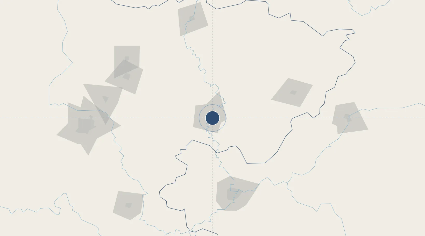
30.7981°, 106.1642°
7,874 ft
Longest runway
1
Runways
1,145 ft
Elevation

Runway & Layout

Nanchong Gaoping Airport runway & taxiway layout
Runway & taxiway layout — OpenStreetMap (ODbL) / OurAirports

Runways · 1

RunwayDimensions SurfaceTrue headingLit
06/24 7,874 × —ft
OurAirports

Airport Specifications

IATA code
NAO
OurAirports
ICAO code
ZUNC
OurAirports
Airport class
Small airport
OurAirports
Scheduled service
Yes
OurAirports
Served city
Nanchong (Gaoping)
OurAirports

Location

Location of ZUNC
Natural Earth 10m (public domain) · Sichuan · ZUNC · 30.80, 106.16GoogleOSMYandex

Nearby Logistics Neighbours

Airports
  1. 1Langzhong Gucheng Airport79 km
  2. 2Bazhong Enyang Airport114 km
  3. 3Dazhou Jinya Airport124 km
  4. 4Dachuan Airport126 km
  5. 5Chongqing Jiangbei International Airport130 km
Nearest neighbours — logibook spatial index (haversine) over the source coordinates
Cities
  1. 1Suining67 km
  2. 2Chongqing138 km
  3. 3Mianyang160 km
  4. 4Fuling166 km
  5. 5Ziyang167 km
Nearest neighbours — logibook spatial index (haversine) over the source coordinates
Ports
  1. 1Hankow777 km
  2. 2Fang-Cheng1029 km
  3. 3Qinzhou1036 km
  4. 4Beihai1075 km
  5. 5Cam Pha1092 km
Nearest neighbours — logibook spatial index (haversine) over the source coordinates
Trade Zones
  1. 1Nanchong Economic Development Zone10 km
  2. 2Yuechi Economic Development Zone42 km
  3. 3Wusheng Economic Development Zone51 km
  4. 4Suining Anju Economic Development Zone64 km
  5. 5Suining Economic Development Zone64 km
Nearest neighbours — logibook spatial index (haversine) over the source coordinates
DatabookThe Record of Consolidated Knowledge
China beyond logistics?
Browse databook

All Sources

AirportsOurAirports
Public domain
Portsthe NGA World Port Index
Public domain (US gov)
LocationsUN/LOCODE
UN/LOCODE — free
Trade Zonesthe World Bank SEZ database
CC BY 4.0
Trade ZonesOpen Zone Map
CC BY
InfrastructureOpenStreetMap
ODbL 1.0
← China airports