Export Processing Zone · China

Gangcheng Industrial Park Active
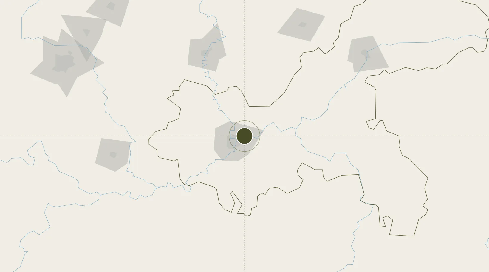
29.6273°, 106.6607°
683 ha
Zone area
740.8 km
Nearest port
9.5 km
Nearest airport

Gateway access

Nearest neighbours — logibook spatial index (haversine) over the source coordinates

Zone profile

Zone type
Export Processing Zone
Open Zone Map
Region
Chongqing
Open Zone Map
Status
Active
Open Zone Map
Management
Public
Open Zone Map
Operator
Management Committee of Gangcheng Industrial Park
Open Zone Map
Legal framework
Chongqing Gangcheng Industrial Park is a municipal characteristic industrial park approved by Chongqing Municipal government in 2002.
Open Zone Map

Location

Location of ozm-1203
Natural Earth 10m (public domain) · Chongqing · ozm-1203 · 29.63, 106.66GoogleOSMYandex

Nearby Logistics Neighbours

Ports
  1. 1Hankow741 km
  2. 2Fang-Cheng892 km
  3. 3Qinzhou899 km
  4. 4Beihai937 km
  5. 5Cam Pha958 km
Nearest neighbours — logibook spatial index (haversine) over the source coordinates
Airports
  1. 1Chongqing Jiangbei International Airport10 km
  2. 2Chongqing Baishiyi Air Base33 km
  3. 3Chongqing Xiannüshan Airport102 km
  4. 4Luzhou Yunlong Airport133 km
  5. 5Nanchong Gaoping Airport139 km
Nearest neighbours — logibook spatial index (haversine) over the source coordinates
Cities
  1. 1Chongqing7 km
  2. 2Fuling70 km
  3. 3Luzhou147 km
  4. 4Suining148 km
  5. 5Xiantan175 km
Nearest neighbours — logibook spatial index (haversine) over the source coordinates
Trade Zones
  1. 1Chongqing New North Zone (CNNZ)18 km
  2. 2Tongxing Industrial Park22 km
  3. 3Banan Industrial Park25 km
  4. 4Xiyong Microelectronics Industrial Park27 km
  5. 5Jianqiao Industrial Park32 km
Nearest neighbours — logibook spatial index (haversine) over the source coordinates
DatabookThe Record of Consolidated Knowledge
China beyond logistics?
Browse databook

All Sources

Trade ZonesOpen Zone Map
CC BY
Portsthe NGA World Port Index
Public domain (US gov)
AirportsOurAirports
Public domain
LocationsUN/LOCODE
UN/LOCODE — free
← China trade zones