Export Processing Zone · China
Tianjin Export Processing Zone
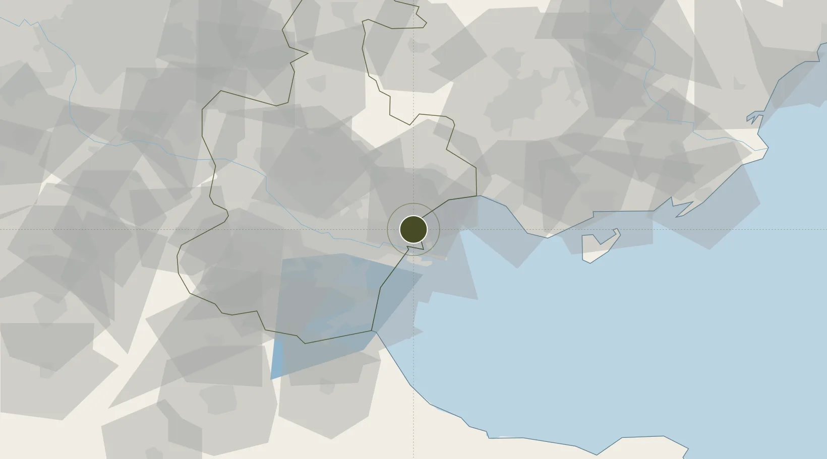
39.0697°, 117.7305°
254 ha
Zone area
14.5 km
Nearest port
33.7 km
Nearest airport
Gateway access
Zone profile
Zone type
Export Processing Zone
Region
Tianjin
Established
2002
Management
Public agency
Operator
Administrative Committee of Tianjin Export Processing Zone
Regulatory authority
Administrative Commission
Legal framework
State or Provincial Council Decree
Location
Fiscal & incentives
Corporate tax
25%
Tax relief
Reduced fixed-rate at 15% for high-tech enterprises
Relief duration
Perpetual
VAT
100% exempt on VAT on inputs and capex; reduced fixed-rate VAT at 13% for agricultural-related activities
Import duty (inputs)
100% exempt
Import duty (capex)
100% exempt
Profit repatriation
No exemption
Capital gains
No exemption
Withholding tax
No exemption
Min. investment
None
Min. export
100%
Employment incentive
No exemption
Developer incentive
Under review
Nearby Logistics Neighbours
Ports
- 1Tianjin Xin Gang15 km
- 2Tangshan (Jingtang)112 km
- 3Qinhuangdao188 km
- 4Longkou Gang274 km
- 5Penglai304 km
Airports
- 1Tianjin Binhai International Airport34 km
- 2Yangcun Air Base64 km
- 3Tangguantun Air Base66 km
- 4Tangshan Sannühe Airport76 km
- 5Cangxian Air Base102 km
Cities
- 1Tianjin4 km
- 2Tianjin Xingang Pt6 km
- 3Tanggu9 km
- 4Tianjin Pt10 km
- 5Binhai11 km
DatabookThe Record of Consolidated Knowledge
China beyond logistics?