UN/LOCODE hub · China
CNTXG

Tianjin Xingang Pt

39.0175°, 117.7573°
1
Transport functions

Transport Functions

Port
Tianjin Xingang Pt is also a profiled seaport →
UN/LOCODE

Hub Profile

Region
TJ
GeoNames
Logistics facilities
28
UN/LOCODE

Location

Location of CNTXG
Natural Earth 10m (public domain) · TJ · CNTXG · 39.02, 117.76GoogleOSMYandex

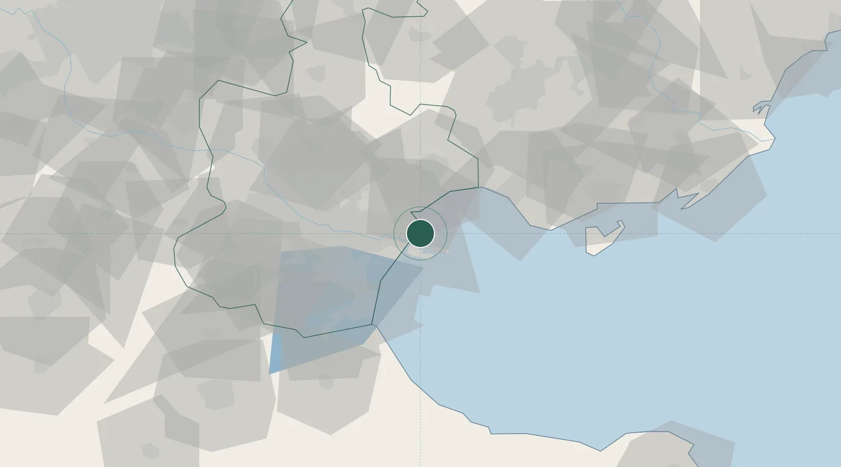
Nearby Logistics Neighbours

Cities
  1. 1Tianjin Pt4 km
  2. 2Binhai4 km
  3. 3Tianjin6 km
  4. 4Tanggu9 km
  5. 5Dongli ,Tianjing40 km
Nearest neighbours — logibook spatial index (haversine) over the source coordinates
Ports
  1. 1Tangshan (Jingtang)111 km
  2. 2Qinhuangdao189 km
  3. 3Longkou Gang269 km
  4. 4Penglai299 km
  5. 5Lushun303 km
Nearest neighbours — logibook spatial index (haversine) over the source coordinates
Airports
  1. 1Tianjin Binhai International Airport37 km
  2. 2Tangguantun Air Base65 km
  3. 3Yangcun Air Base69 km
  4. 4Tangshan Sannühe Airport81 km
  5. 5Cangxian Air Base99 km
Nearest neighbours — logibook spatial index (haversine) over the source coordinates
Trade Zones
  1. 1Tianjin Export Processing Zone6 km
  2. 2Modern Industrial Zone in Tianjin Development Zone23 km
  3. 3Tianjin High-tech Industrial Development Zone23 km
  4. 4Jinnan Economic Development Zone26 km
  5. 5Junliangcheng Industrial Park26 km
Nearest neighbours — logibook spatial index (haversine) over the source coordinates
DatabookThe Record of Consolidated Knowledge
China beyond logistics?
Browse databook

All Sources

LocationsUN/LOCODE
UN/LOCODE — free
Portsthe NGA World Port Index
Public domain (US gov)
AirportsOurAirports
Public domain
Trade Zonesthe World Bank SEZ database
CC BY 4.0
Trade ZonesOpen Zone Map
CC BY
← China locations