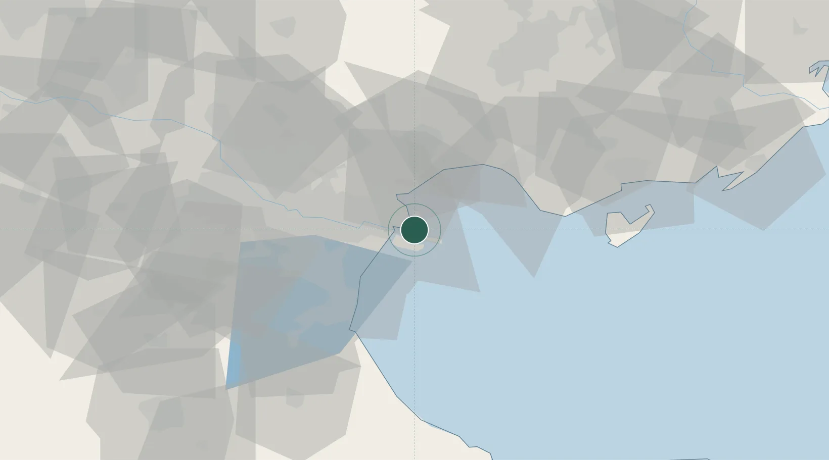
UN/LOCODE hub · China
CNBHX

Binhai

38.9821°, 117.7799°
1
Transport functions

Transport Functions

Port
UN/LOCODE

Hub Profile

Place type
Populated place
GeoNames
Region
Jiangsu
GeoNames
Time zone
Asia/Shanghai
GeoNames
Elevation
3 m
GeoNames
Logistics facilities
1
UN/LOCODE

Location

Location of CNBHX
Natural Earth 10m (public domain) · Jiangsu · CNBHX · 38.98, 117.78GoogleOSMYandex

Nearby Logistics Neighbours

Cities
  1. 1Tianjin Pt3 km
  2. 2Tianjin Xingang Pt4 km
  3. 3Tianjin10 km
  4. 4Tanggu12 km
  5. 5Dongli ,Tianjing43 km
Nearest neighbours — logibook spatial index (haversine) over the source coordinates
Ports
  1. 1Tianjin Xin Gang5 km
  2. 2Tangshan (Jingtang)110 km
  3. 3Qinhuangdao190 km
  4. 4Longkou Gang265 km
  5. 5Penglai296 km
Nearest neighbours — logibook spatial index (haversine) over the source coordinates
Airports
  1. 1Tianjin Binhai International Airport41 km
  2. 2Tangguantun Air Base66 km
  3. 3Yangcun Air Base73 km
  4. 4Tangshan Sannühe Airport84 km
  5. 5Cangxian Air Base98 km
Nearest neighbours — logibook spatial index (haversine) over the source coordinates
Trade Zones
  1. 1Tianjin Export Processing Zone11 km
  2. 2Modern Industrial Zone in Tianjin Development Zone26 km
  3. 3Tianjin High-tech Industrial Development Zone27 km
  4. 4Jinnan Economic Development Zone28 km
  5. 5Junliangcheng Industrial Park29 km
Nearest neighbours — logibook spatial index (haversine) over the source coordinates
DatabookThe Record of Consolidated Knowledge
China beyond logistics?
Browse databook

All Sources

LocationsUN/LOCODE
UN/LOCODE — free
Portsthe NGA World Port Index
Public domain (US gov)
AirportsOurAirports
Public domain
Trade Zonesthe World Bank SEZ database
CC BY 4.0
Trade ZonesOpen Zone Map
CC BY
← China locations