Diversified Zone · China

Modern Industrial Zone in Tianjin Development Zone Active
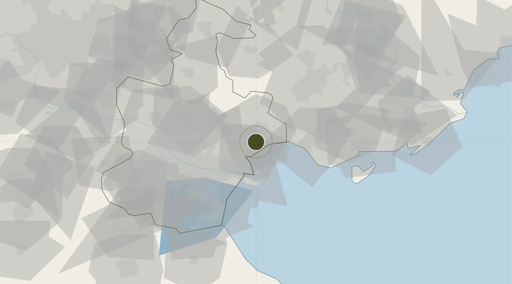
39.2178°, 117.7917°
446 ha
Zone area
28.2 km
Nearest port
39.8 km
Nearest airport

Gateway access

Nearest neighbours — logibook spatial index (haversine) over the source coordinates

Zone profile

Zone type
Diversified Zone
Open Zone Map
Region
Tianjin
Open Zone Map
Status
Active
Open Zone Map
Management
Public
Open Zone Map
Operator
Modern Industrial Zone in Tianjin Development Zone
Open Zone Map
Legal framework
It was founded on December 6, 1984
Open Zone Map

Location

Location of ozm-488
Natural Earth 10m (public domain) · Tianjin · ozm-488 · 39.22, 117.79GoogleOSMYandex

Nearby Logistics Neighbours

Ports
  1. 1Tianjin Xin Gang28 km
  2. 2Tangshan (Jingtang)106 km
  3. 3Qinhuangdao176 km
  4. 4Longkou Gang280 km
  5. 5Lushun303 km
Nearest neighbours — logibook spatial index (haversine) over the source coordinates
Airports
  1. 1Tianjin Binhai International Airport40 km
  2. 2Tangshan Sannühe Airport59 km
  3. 3Yangcun Air Base62 km
  4. 4Tangguantun Air Base79 km
  5. 5Tangshan Zunhua Air Base99 km
Nearest neighbours — logibook spatial index (haversine) over the source coordinates
Cities
  1. 1Tianjin21 km
  2. 2Tianjin Xingang Pt23 km
  3. 3Tanggu26 km
  4. 4Binhai26 km
  5. 5Tianjin Pt26 km
Nearest neighbours — logibook spatial index (haversine) over the source coordinates
Trade Zones
  1. 1Tianjin Export Processing Zone17 km
  2. 2Lutai Economic Development Zone19 km
  3. 3Tianjin High-tech Industrial Development Zone26 km
  4. 4Junliangcheng Industrial Park35 km
  5. 5Tangshan Nanpu Economic Development Zone37 km
Nearest neighbours — logibook spatial index (haversine) over the source coordinates
DatabookThe Record of Consolidated Knowledge
China beyond logistics?
Browse databook

All Sources

Trade ZonesOpen Zone Map
CC BY
Portsthe NGA World Port Index
Public domain (US gov)
AirportsOurAirports
Public domain
LocationsUN/LOCODE
UN/LOCODE — free
← China trade zones