Diversified Zone · China
Lutai Economic Development Zone Active
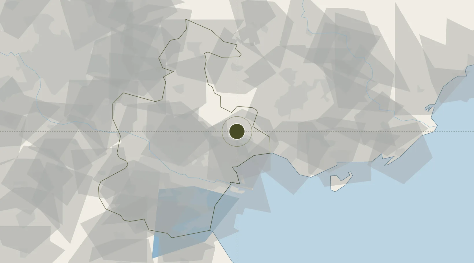
39.3866°, 117.7541°
1,030 ha
Zone area
47.2 km
Nearest port
42.5 km
Nearest airport
Gateway access
Zone profile
Zone type
Diversified Zone
Region
Tianjin
Status
Active
Management
Public
Operator
Management Committee of Lutai Economic Development Zone
Legal framework
Regulations on Taxation Policies of National High-Tech Industrial Development Zones Approved by State Council of the People's Republic of China Mar 6, 1991; Administrative Measures for the Recognition of High-tech Enterprises; Ministry of Science and Tech
Location
Nearby Logistics Neighbours
Ports
- 1Tianjin Xin Gang47 km
- 2Tangshan (Jingtang)111 km
- 3Qinhuangdao171 km
- 4Longkou Gang294 km
- 5Lushun309 km
Airports
- 1Tangshan Sannühe Airport43 km
- 2Tianjin Binhai International Airport46 km
- 3Yangcun Air Base57 km
- 4Tangshan Zunhua Air Base80 km
- 5Tangguantun Air Base90 km
Cities
- 1Tianjin38 km
- 2Tianjin Xingang Pt41 km
- 3Tanggu42 km
- 4Tianjin Pt45 km
- 5Binhai45 km
DatabookThe Record of Consolidated Knowledge
China beyond logistics?