Transport Functions
Port
Hub Profile
Region
TJ
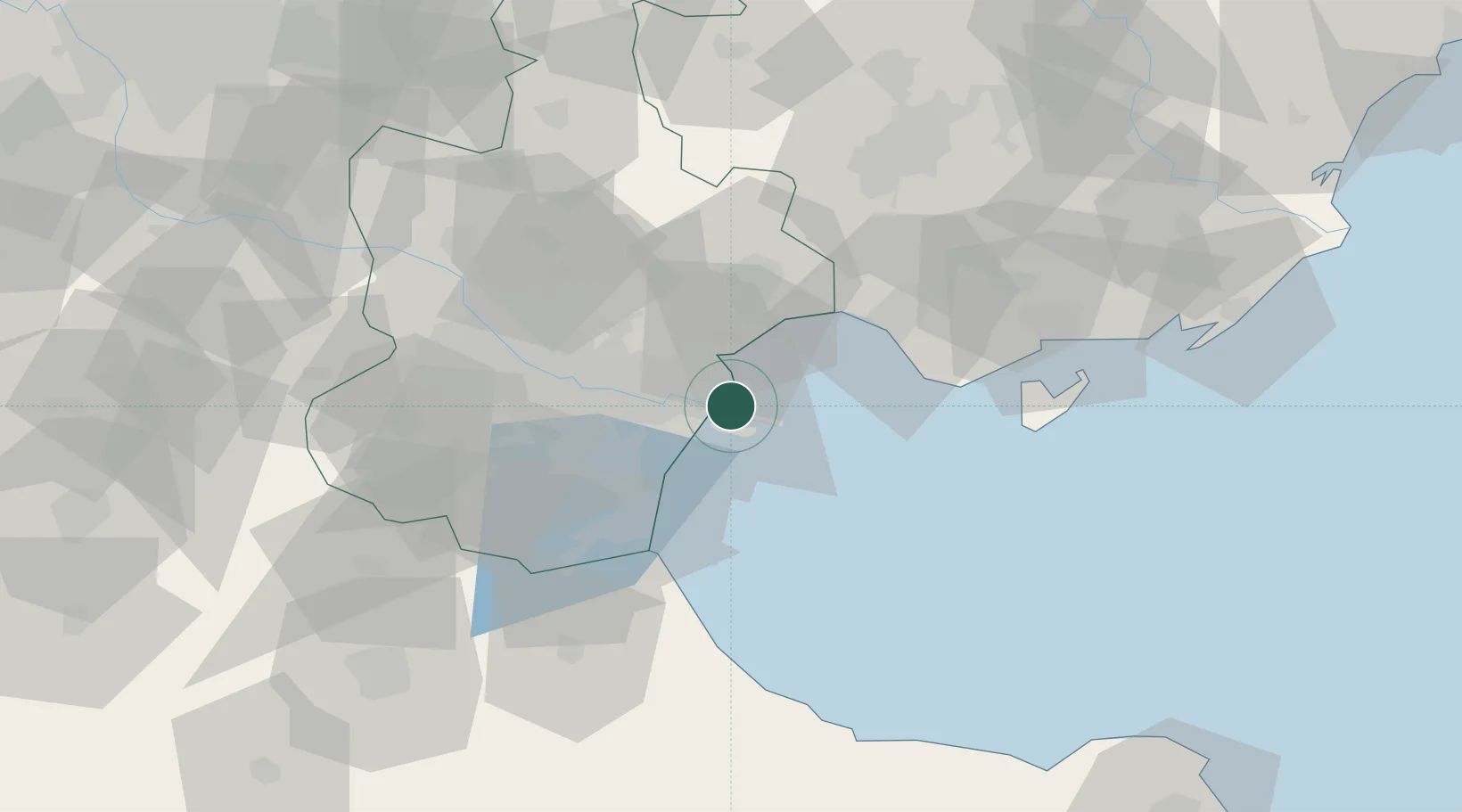
Location
Nearby Logistics Neighbours
Cities
- 1Binhai3 km
- 2Tianjin Xingang Pt4 km
- 3Tianjin8 km
- 4Tanggu9 km
- 5Dongli ,Tianjing40 km
Ports
- 1Tianjin Xin Gang7 km
- 2Tangshan (Jingtang)112 km
- 3Qinhuangdao192 km
- 4Longkou Gang267 km
- 5Penglai298 km
Airports
- 1Tianjin Binhai International Airport38 km
- 2Tangguantun Air Base63 km
- 3Yangcun Air Base71 km
- 4Tangshan Sannühe Airport85 km
- 5Cangxian Air Base96 km
DatabookThe Record of Consolidated Knowledge
China beyond logistics?