Transport Functions
Port
Fixed Transport
Hub Profile
Place type
Populated place
Region
Guizhou
Time zone
Asia/Shanghai
Elevation
764 m
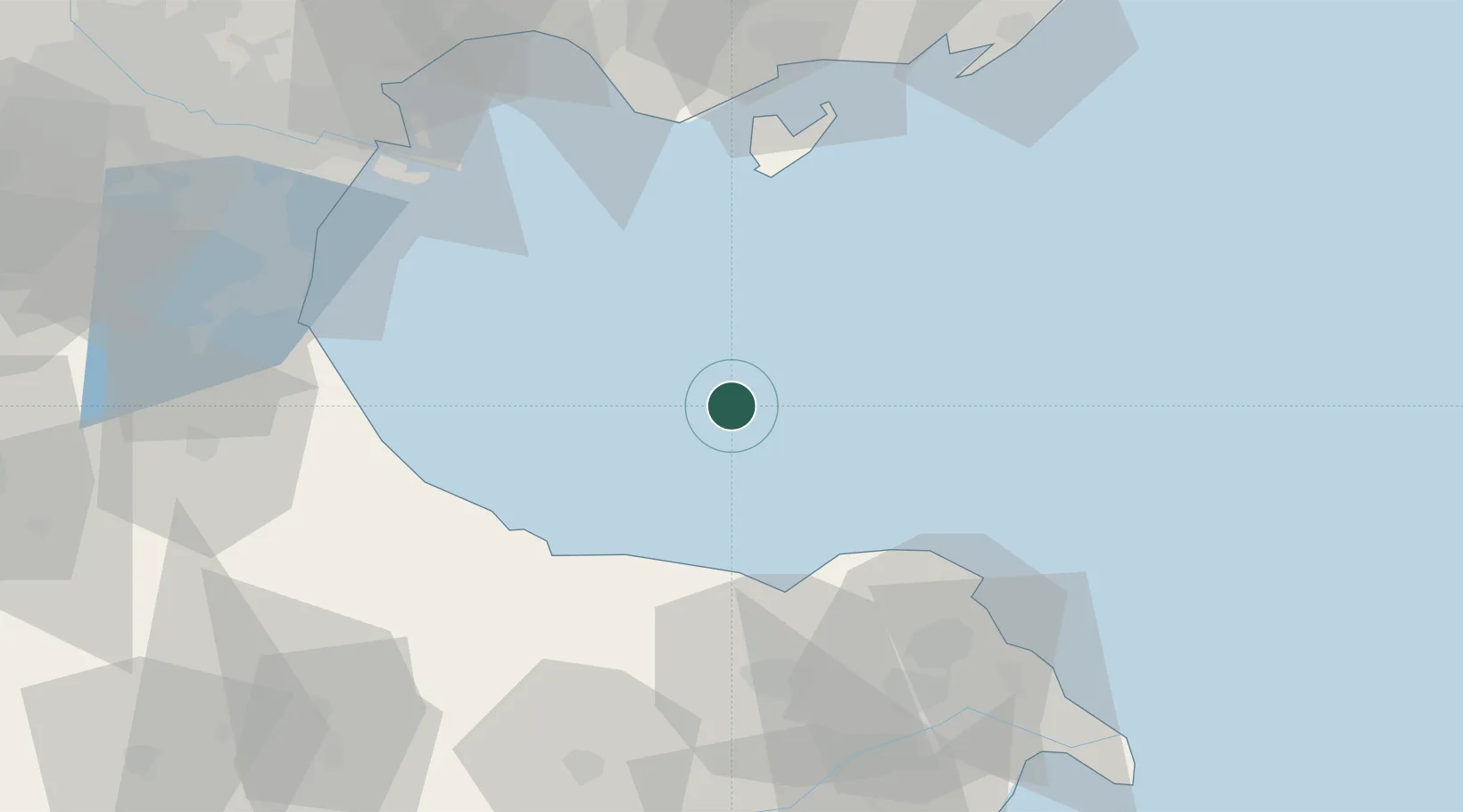
Location
Nearby Logistics Neighbours
Cities
- 1Caofeidian Pt56 km
- 2Binhai82 km
- 3Tianjin Pt84 km
- 4Tianjin Xingang Pt86 km
- 5Tianjin92 km
Ports
- 1Tianjin Xin Gang78 km
- 2Tangshan (Jingtang)98 km
- 3Longkou Gang186 km
- 4Qinhuangdao194 km
- 5Penglai221 km
Airports
- 1Dongying Shengli Airport110 km
- 2Tianjin Binhai International Airport120 km
- 3Tangguantun Air Base124 km
- 4Cangxian Air Base131 km
- 5Qinhuangdao Beidaihe Airport146 km
Trade Zones
DatabookThe Record of Consolidated Knowledge
China beyond logistics?