Medium airport · China

Yichun Lindu AirportZYLD
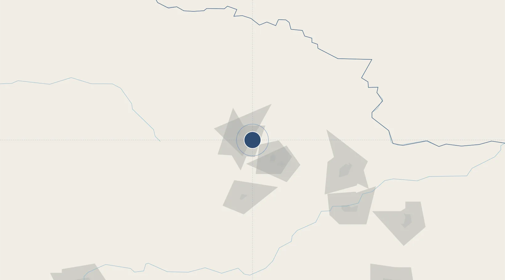
47.7521°, 129.0191°
7,546 ft
Longest runway
1
Runways
791 ft
Elevation

Runway & Layout

Yichun Lindu Airport runway & taxiway layout
Runway & taxiway layout — OpenStreetMap (ODbL) / OurAirports

Runways · 1

RunwayDimensions SurfaceTrue headingLit
12/30 7,546 × —ft
OurAirports

Airport Specifications

IATA code
LDS
OurAirports
ICAO code
ZYLD
OurAirports
Airport class
Medium airport
OurAirports
Scheduled service
Yes
OurAirports
Served city
Yichun
OurAirports

Location

Location of ZYLD
Natural Earth 10m (public domain) · Heilongjiang · ZYLD · 47.75, 129.02GoogleOSMYandex

Nearby Logistics Neighbours

Airports
  1. 1Jiamusi Songjiang International Airport149 km
  2. 2Wudalianchi Dedu Airport228 km
  3. 3Jiansanjiang Shidi Airport283 km
  4. 4Heihe Aihui Airport297 km
  5. 5Daqing Sartu Airport313 km
Nearest neighbours — logibook spatial index (haversine) over the source coordinates
Cities
  1. 1Tieli112 km
  2. 2Luobei136 km
  3. 3Xingdong138 km
  4. 4Huachuan151 km
  5. 5Jiayin159 km
Nearest neighbours — logibook spatial index (haversine) over the source coordinates
Ports
  1. 1Vladivostok563 km
  2. 2Slavyanka574 km
  3. 3Pos'yet584 km
  4. 4Zarubino592 km
  5. 5Najin622 km
Nearest neighbours — logibook spatial index (haversine) over the source coordinates
Trade Zones
  1. 1Nancha New Energy Industrial Park70 km
  2. 2Hegang Economic Development Zone99 km
  3. 3Baoquanling Economic Development Zone121 km
  4. 4Tangyuan County Industrial Park122 km
  5. 5Jiamusi Economic Development Zone140 km
Nearest neighbours — logibook spatial index (haversine) over the source coordinates
DatabookThe Record of Consolidated Knowledge
China beyond logistics?
Browse databook

All Sources

AirportsOurAirports
Public domain
Portsthe NGA World Port Index
Public domain (US gov)
LocationsUN/LOCODE
UN/LOCODE — free
Trade Zonesthe World Bank SEZ database
CC BY 4.0
Trade ZonesOpen Zone Map
CC BY
InfrastructureOpenStreetMap
ODbL 1.0
← China airports